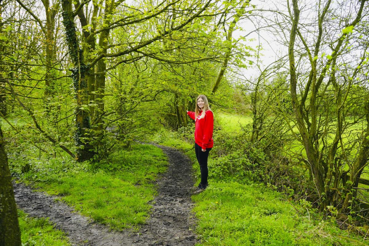
I don’t know about you but even though I love walking, I don’t always have the time or energy for a long walk that takes all day. Often, I just want an easy circular route that is quiet and that’ll only take a couple hours as a short break.
Being busy I often prefer a short car journey to a walk and so this 3.2-mile circular walk near Chesterfield ticks all those boxes plus it only takes about 1hr and 20 minutes to complete.
This circular walk around Pilsley in North East Derbyshire can be muddy in places, so please don’t wear your best trainers as they’ll get ruined. I suggest sturdy walking shoes or boots.
Key Information
Type of walk: Circular Countryside Walk
Average time to complete: About 1 hour 20 minutes
Where to park: Free parking available at Timber Lane Car Park (S45 8AL)
Toilets nearby: Available in nearby cafes and pubs
Dog Friendly: No, there are quite a lot of stiles on this walk
Kid friendly: No, young children may struggle
Recommended Footwear: Sturdy walking shoes or boots
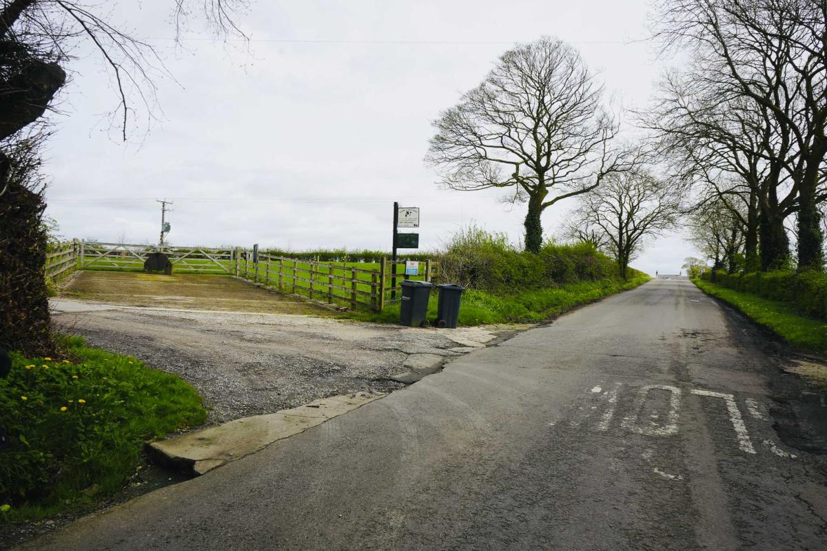
Timber Lane Car Park
The walk begins at Timber Lane Car Park (S45 8AL) and is free, not busy and is open 24/7.
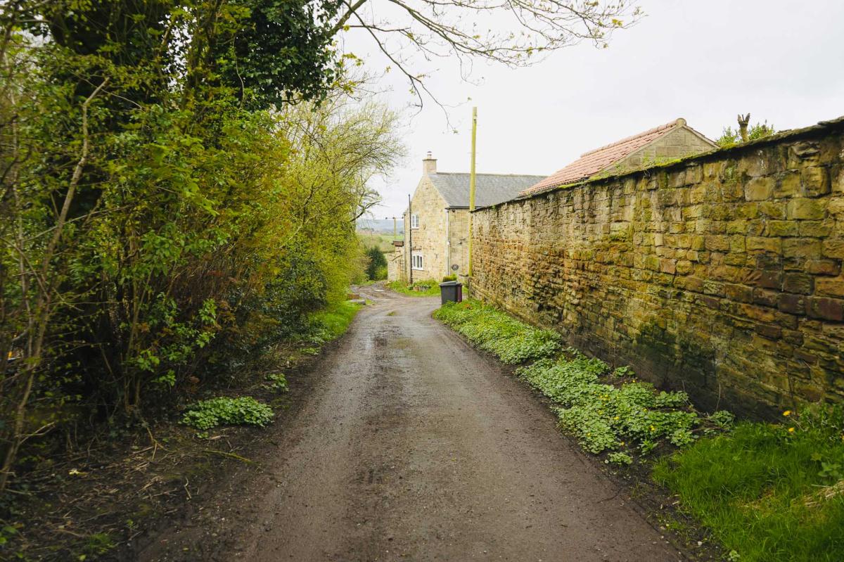
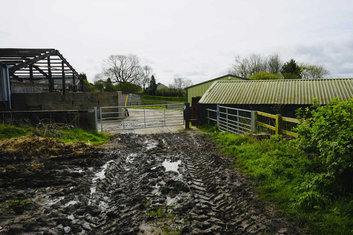
From the car park walk down the little path and cross a tiny wooden bridge and turn right down the road towards some farm buildings. Continue walking past the farm buildings carrying straight on until the road becomes a dirt track.
Broomridding Farm will be on your right-hand side and there will be a stream below on your left-hand side. The path gets narrower as you walk down.
Into the Woods
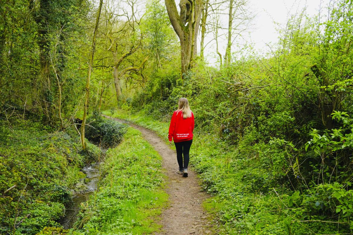
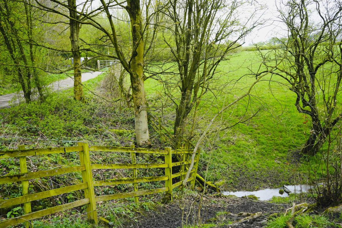
Continue along the path with woods on your left, and then go over another small wooden bridge. The stream will now be on your right-hand side. Continue through a gate and up a small incline with the stream still on your right.
You may notice a strange looking tree with weird, shaped branches.

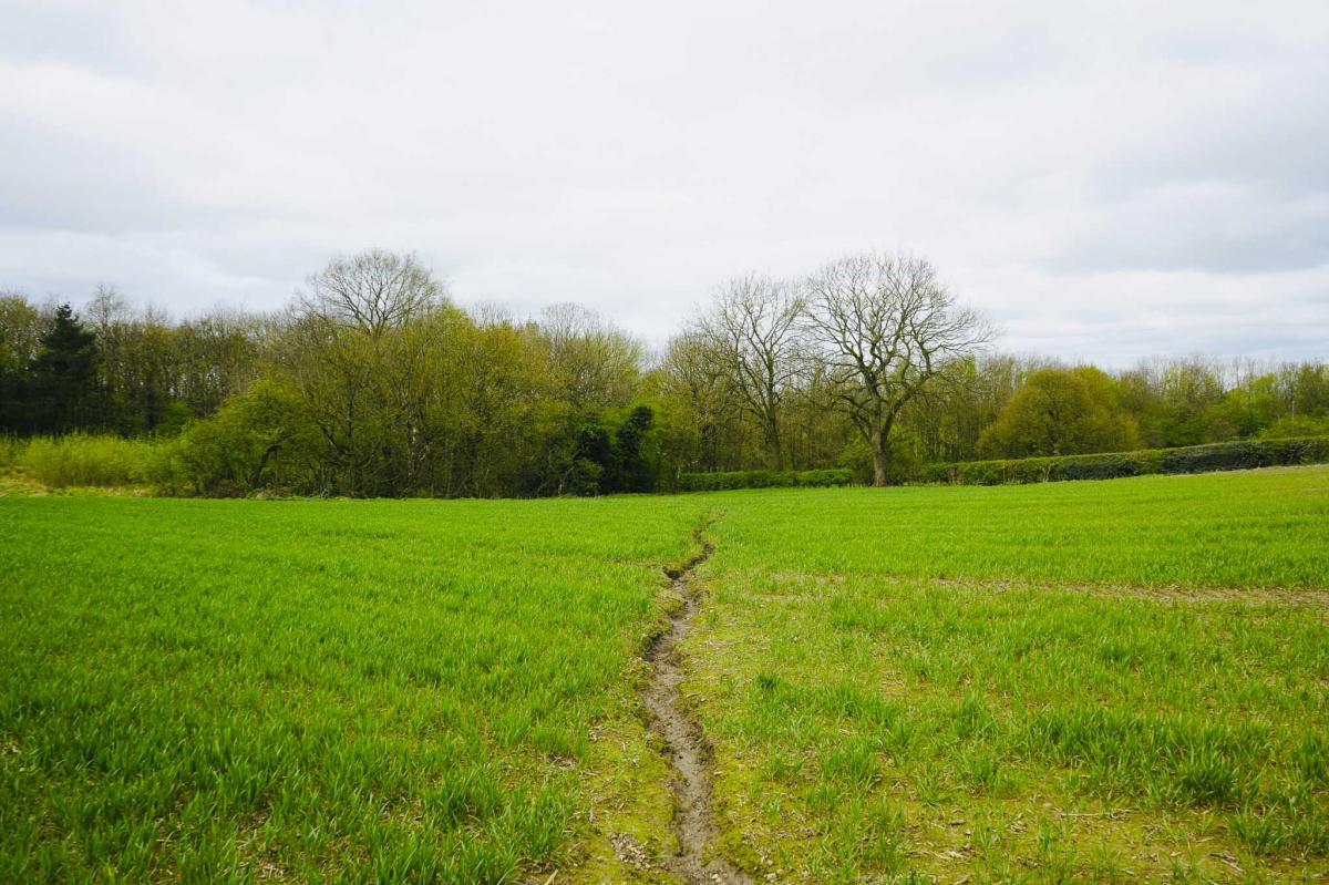
Across the Fields
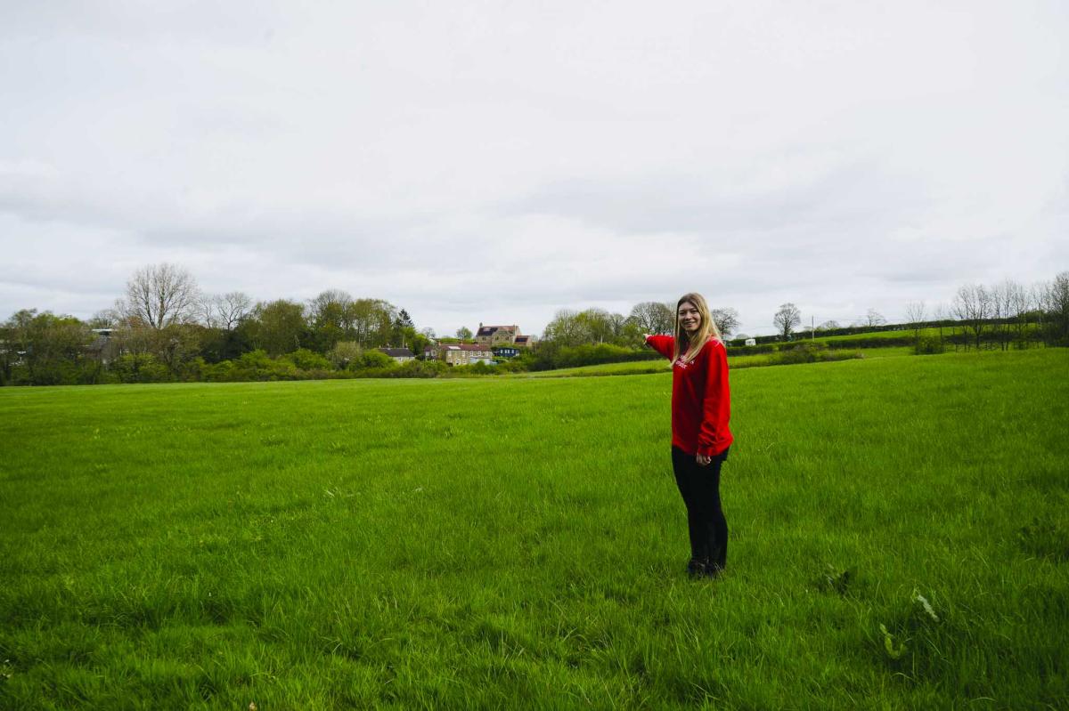
Continue to walk crossing a sleeper laid over a muddy bit and enter a field. Follow the path across the field.
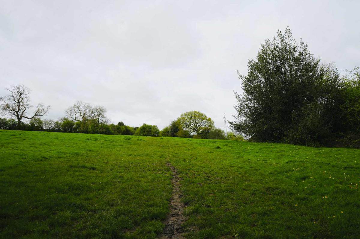
There is a slight incline but it’s mostly flat. Pause, take a breath, and enjoy the views on your right of North Wingfield and St Lawrence’s Parish Church.
At the gate go left into another field and walk up with the hedge on your right-hand side.


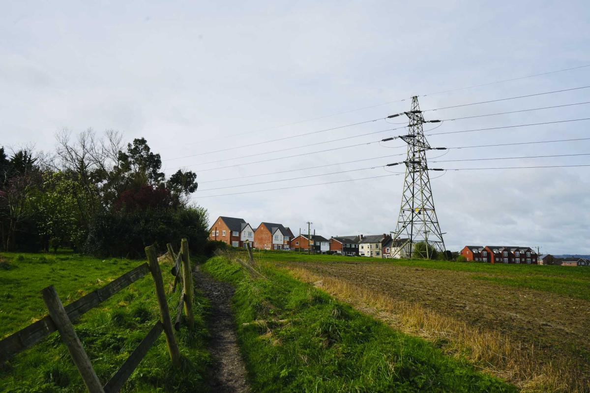
Passing a Pylon
Follow the narrow path passing a pylon. Being near to a pylon you realise how massive they are. Their minimum height is 36 metres and maximum height is 190 metres tall.
Fun Facts: There are more than 90,000 pylons in Great Britain and the operational lifespan of a pylon is about 80 years. While everyone in Britain calls them pylons, their correct name is suspension tension or transmission towers. To complicate things, in America ‘pylons’ are traffic cones!
The design for pylons was the winning entry in a competition run by the Central Electricity Board in 1927.
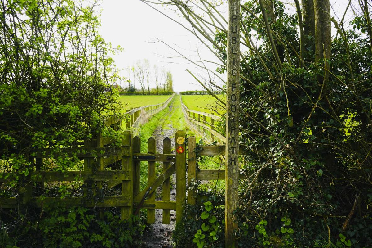
Locko Road and a Finger Post
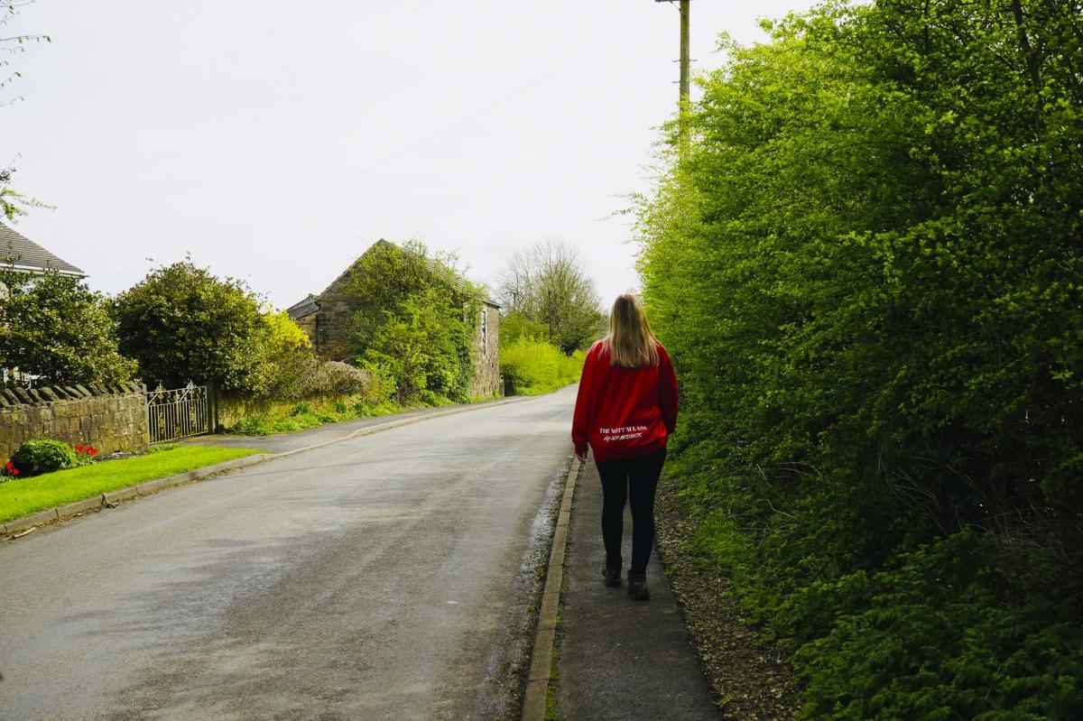
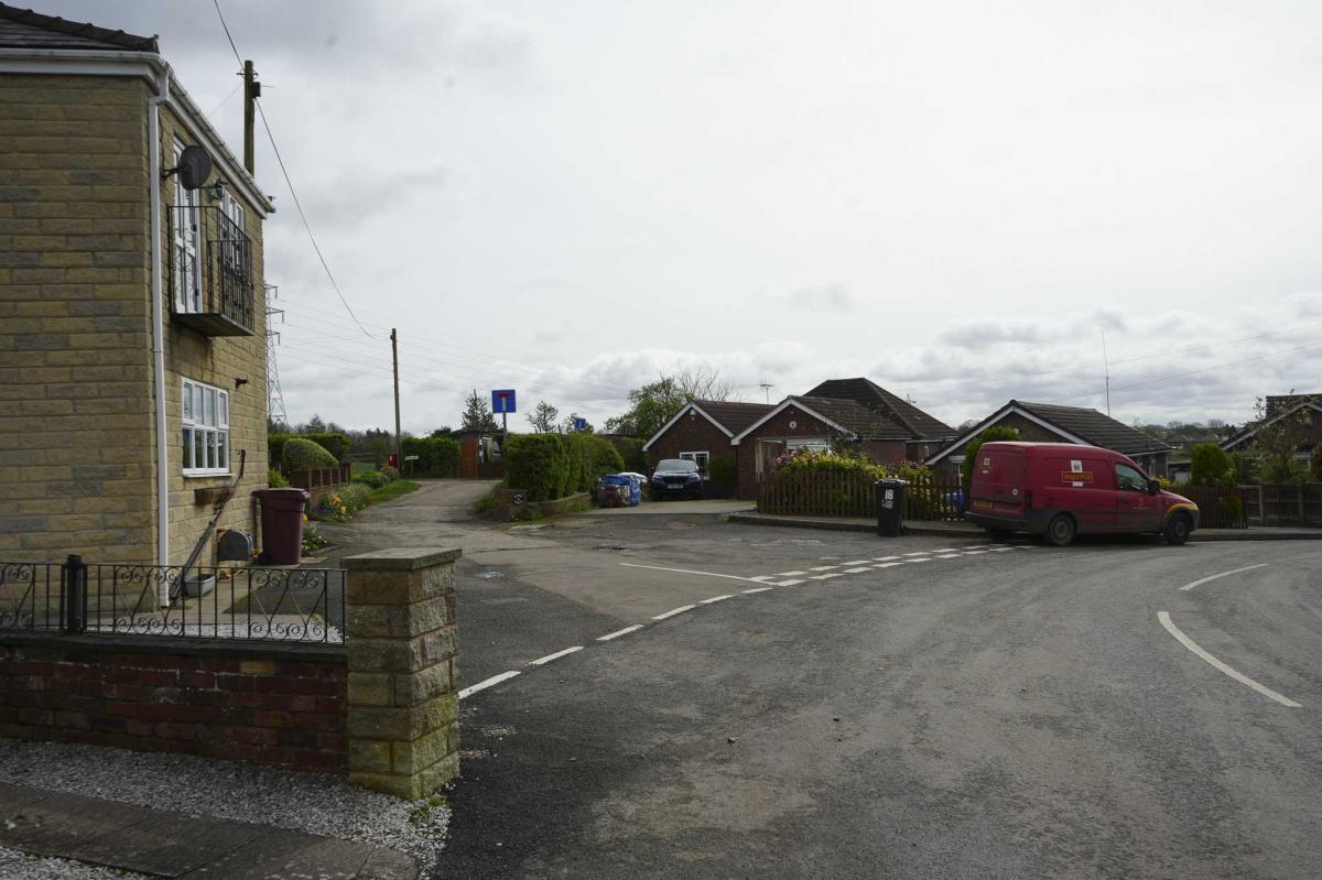
Continue walking towards some new houses until you reach Locko Road. Turn left onto Locko Road.
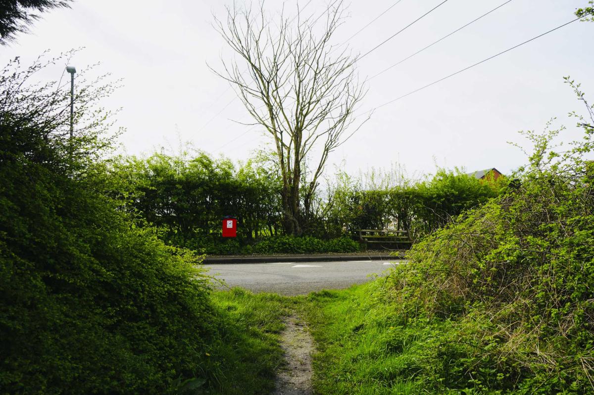
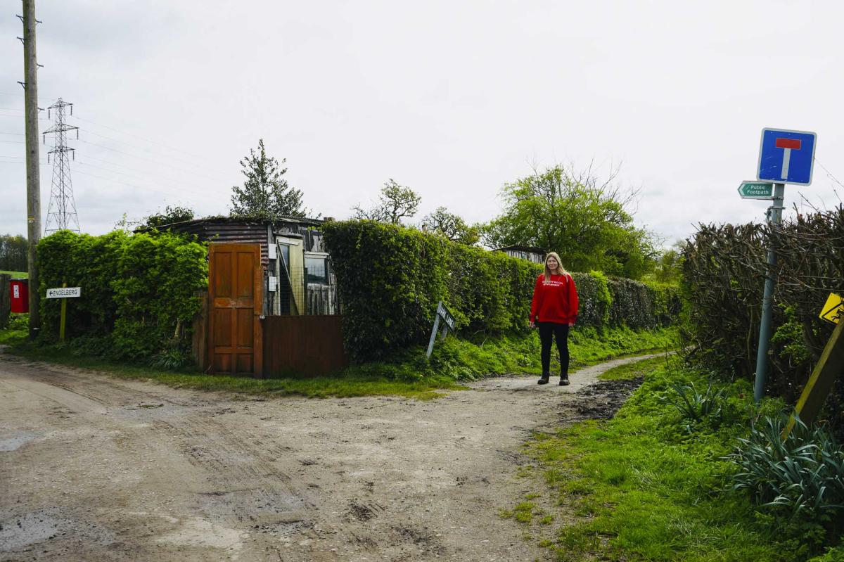
Continue for about 50 metres until you get to a ‘Public Footpath’ fingerpost. Turn right here and walk up a muddy path between wooden fences. Continue to a small wooden gate leading into a copse (small group of trees).
Right at the Fork
Immediately go right at the fork with a field and newly built houses on your right-hand side.
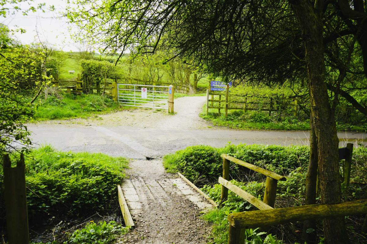
You’ll soon reach Green Lane. Cross the road and go through a kissing gate and across a field with a pylon on the left.

Great Views
Enjoy the wonderful views and continue to a small gate. Go through the gate and walk up another side of a field.
It’s all very open and exhilarating. Follow the perimeter of the field walking towards some farm buildings. You are now a third of the way around the walk.
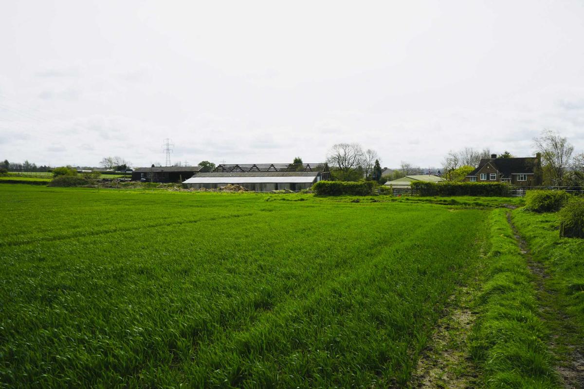
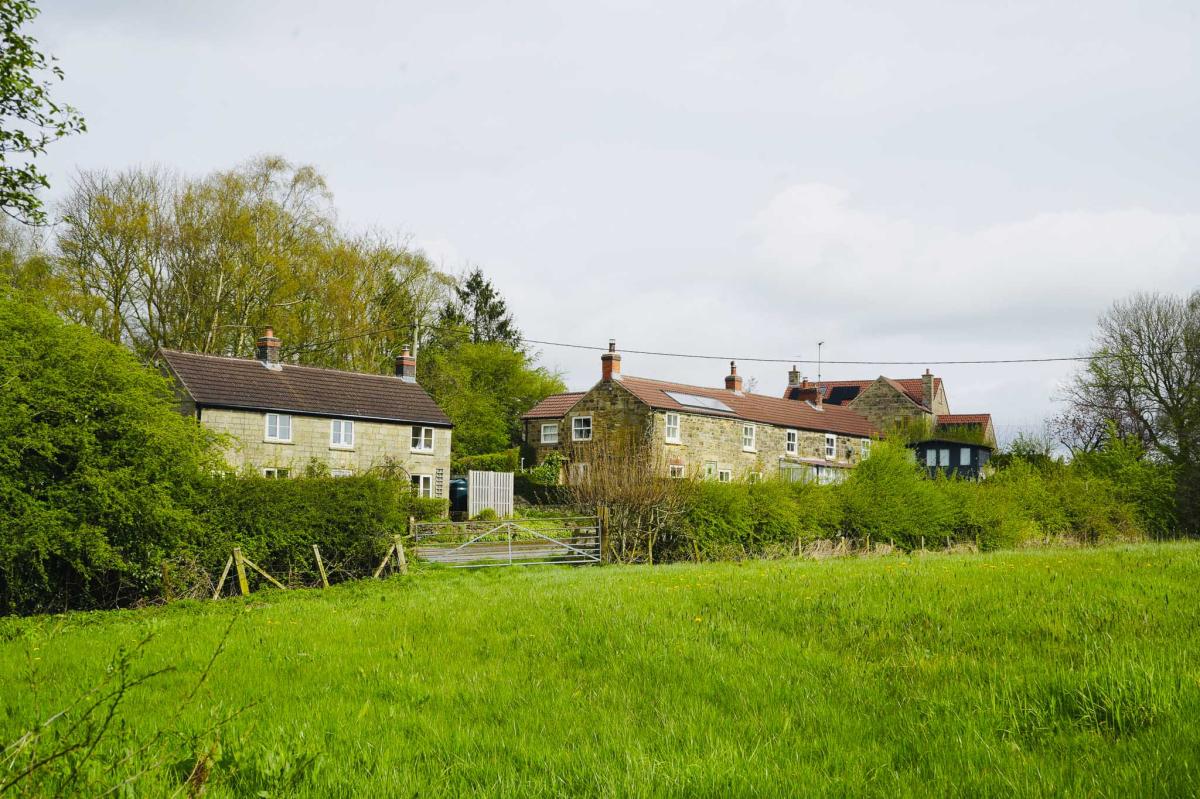
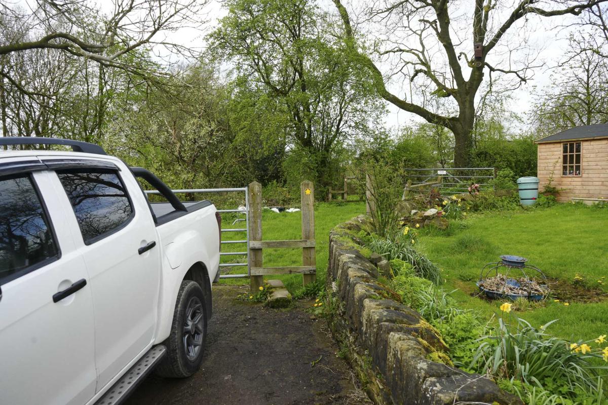
Whitehall Farm
Continue to a farmyard and through a little wooden gate and down a track with houses, straight ahead to a road. The sign on your left at the end of the track tells you that that was Whitehall Farm.

Back Lane and Chicken Run!
Turn left onto Back Lane, carry on walking until you come to the junction, turn left and then left again still staying on Back Lane.

A little further on take the fork right onto Dark Lane. This is a Public Bridleway and walking down the path you may catch sight of lots of hens living in the long field on your left. So cute!
Follow the path between the hedges with a house on your right. Walk past a pond on your right and the path bends round to the left next to the pylon.


Station Road and Pilsley Village
The path comes out at Station Road and Pilsley Village. Turn left onto Station Road and walk past the Five Pits Trail Crossing Point brown road sign and past a bus stop. There’s a nice bench here to take a break. There’s also a memorial stone to commemorate the site of the former Pilsley Colliery and Central Railway.
Fun Facts: Pilsley Village is about a mile from the Chatsworth estate and many of the people who live in Pilsley work at Chatsworth.
Pilsley is mentioned in the Doomsday Book.
Pilsley colliery was founded in 1866 and at its peak had 6 shafts, employed 945 men and produced 1200 tons of coal per shift. The colliery closed in 1957 and the site is now Locko tree plantation.


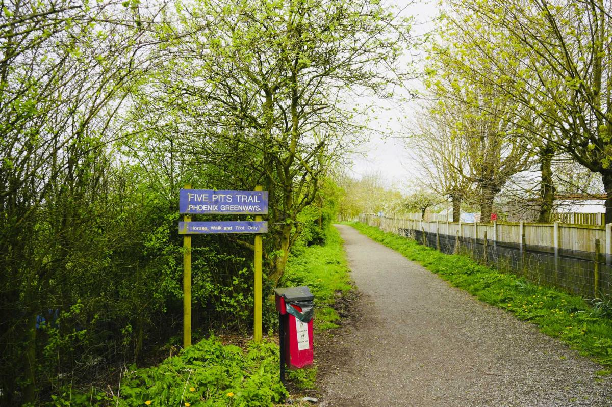
The Five Pits Trail
Just after the bus stop in Pilsley, turn left and join the Five Pits Trail. This is the old railway track – now a gravel path.
Fun Facts: The Five Pits Trail runs from Grassmoor to Tibshelf and is 5.5 miles long. It is a disused railway track following the route of The Great Central Railway that served 5 coal mines – Grassmoor, Williamthorpe, Holmewood, Pilsley and Tibshelf.
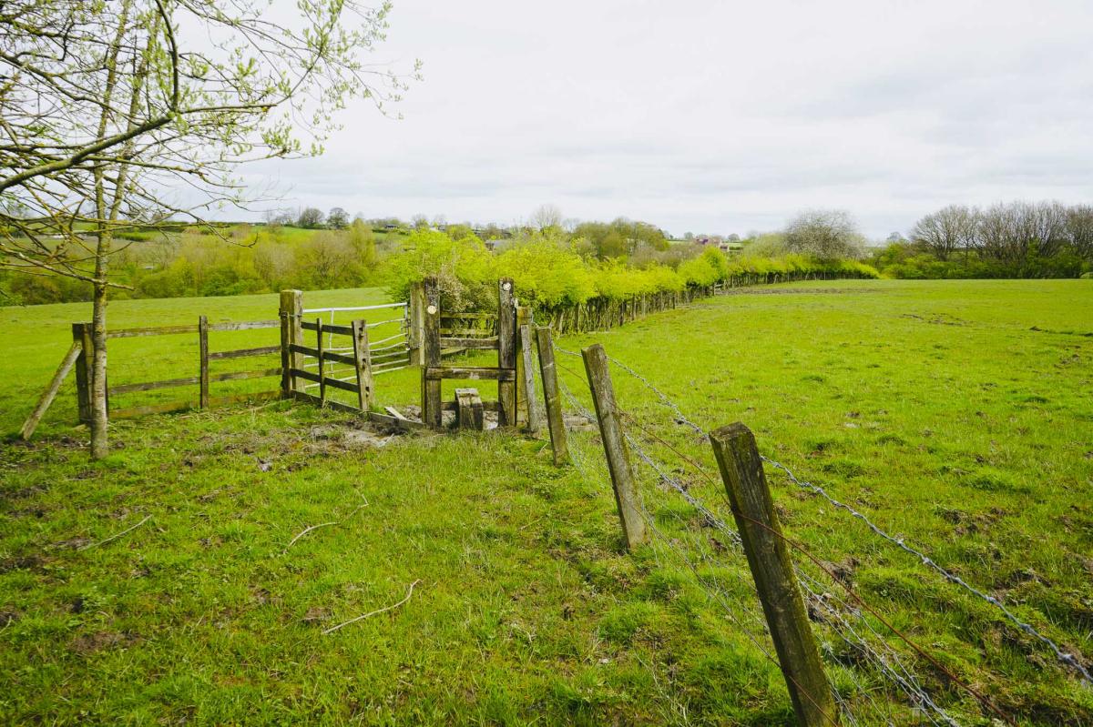
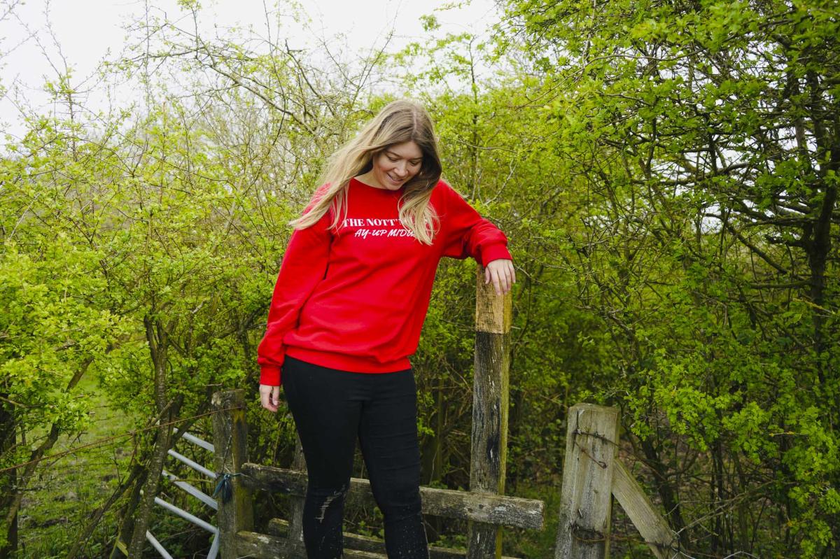
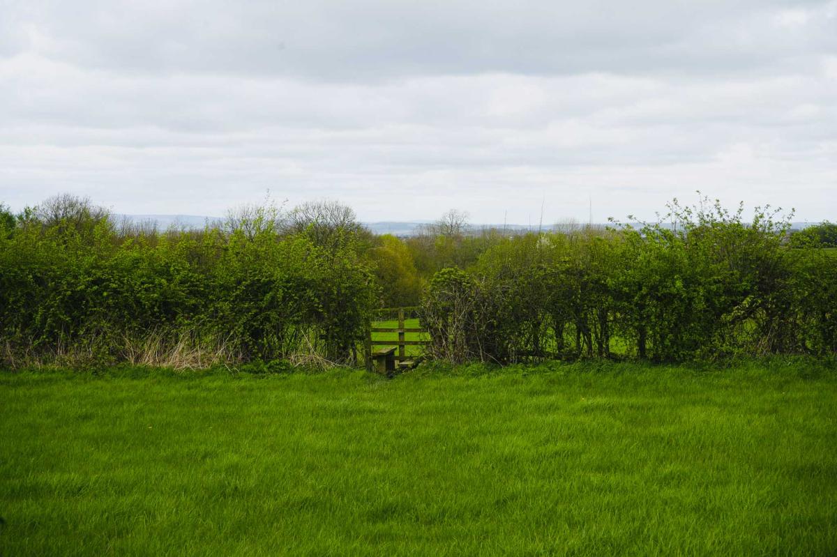
Lots of Stiles Ahead
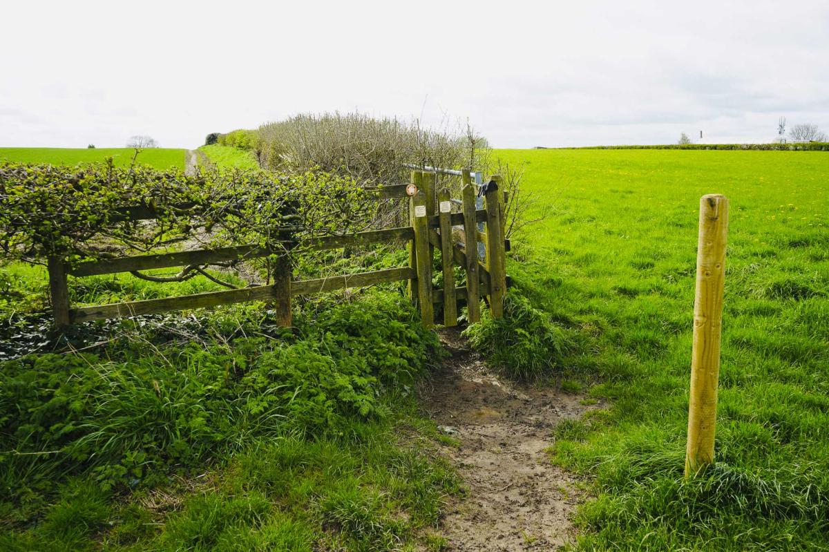
Soon you come to two finger posts. At the second finger post turn right and go through the metal kissing gate. Continue to walk through the trees to a wooden stile aiming towards the right.


Go over the stile and into a field.
Walk to another stile keeping the hedge on your left and into a copse, and onward to yet another stile and into another field.
In Winter and Spring, it does get muddy here.
Locko Lane
Walk towards the houses and another stile and into another field through a metal gate and back onto Locko Lane over another stile.
Head right up Locko Lane and turn left at The Orchard Caravan Site and walk along a concrete track towards farm buildings.

Go left at the green silo and over a low stile.
You come to another stile and bear right. There is a white house on your right behind a hedge.

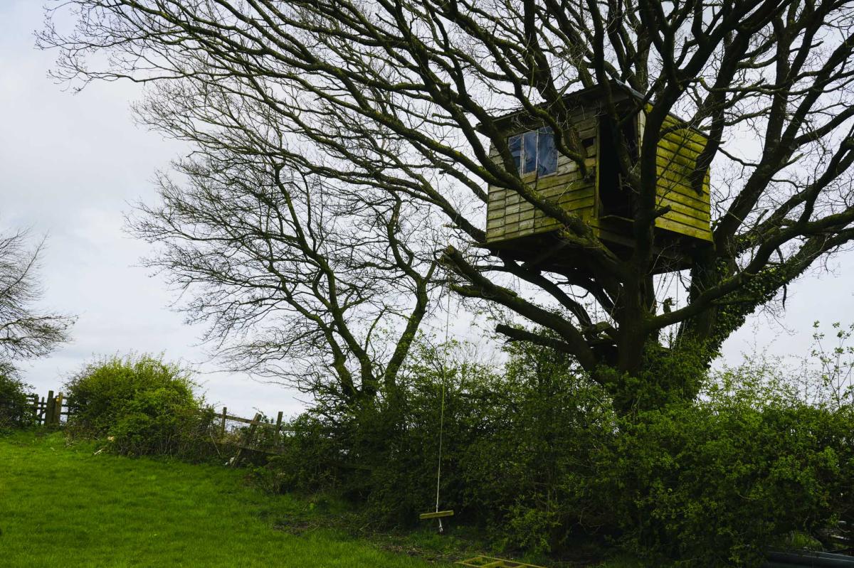
A Treehouse
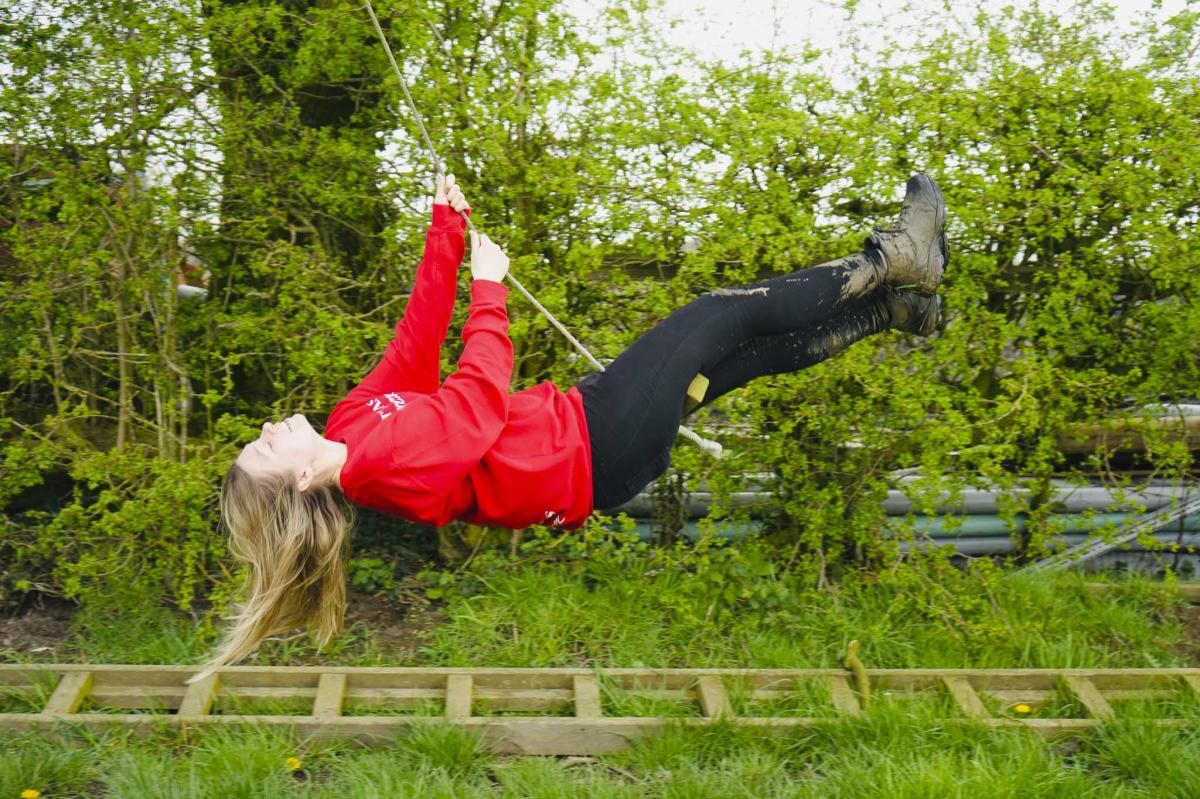
Keep walking up the field with the hedge on your right. And there on your right, is a wonderful treehouse and a swing. So cool!
Fun Facts: Throughout history primitive tribes built treehouses to hide high up away from predatory beasts and floods.
The tallest treehouses are in Laos and are 30 to 40 metres high and can only be reached via a 15 kilometre network of zipwires!
Continue up to a small wooden gate and go through it and go straight across the field to another stile.


Go over the stile and across yet another field and down to the woods and over another stile.
Walk down to the track ahead, crossing a brook and up the grassy bank on the other side.
Go over a stile and cross the road and onto Five Pits Trail and there’s the car park right in front of you.
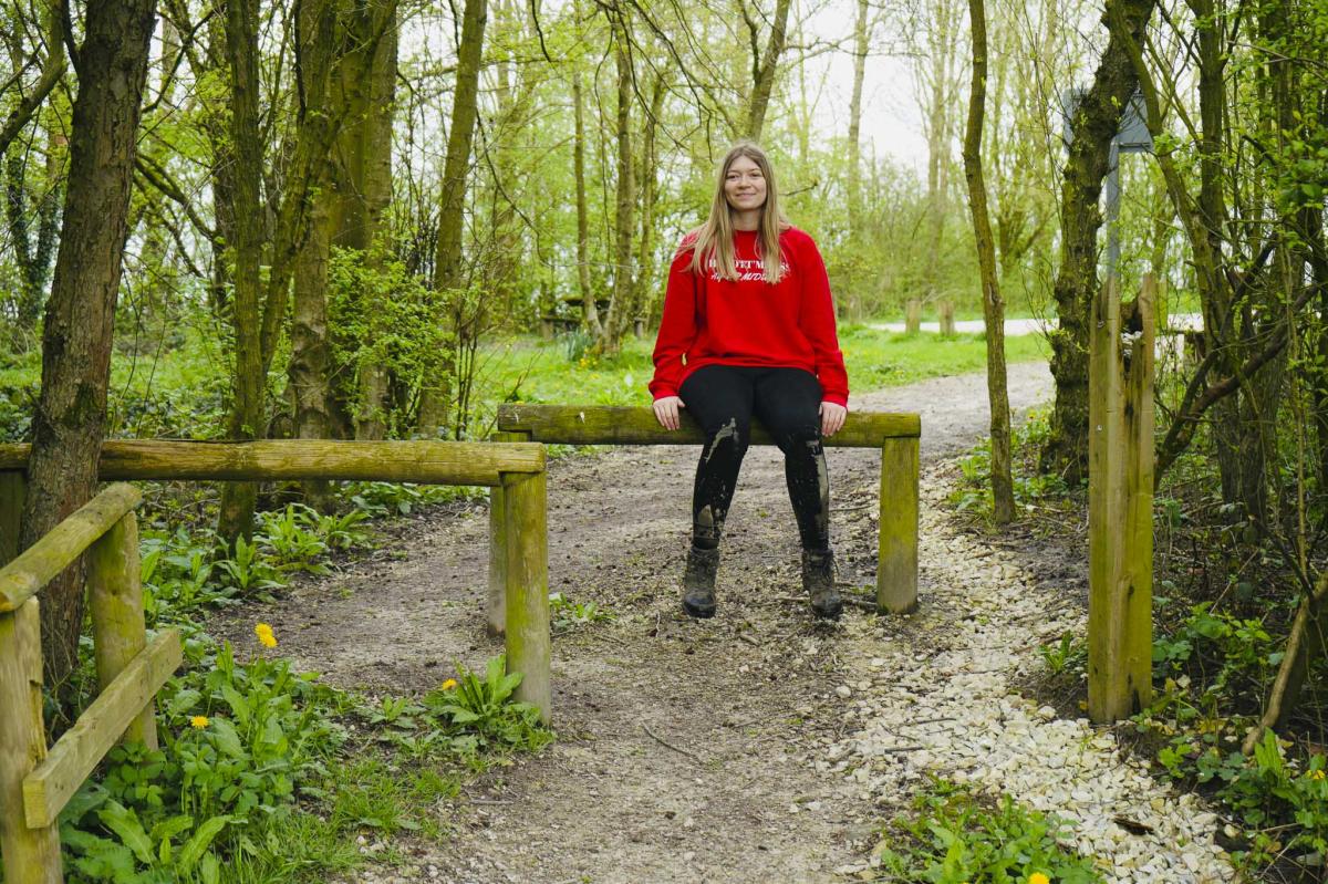
Congratulations you’ve completed the Pilsley Circular Walk!
‘Nibbles, Needles and Hooks’ S45 8DB.
After your walk I recommend coffee and cake at ‘Nibbles, Needles and Hooks’, a quirky little gem of a place in Pilsley Village serving delicious cake – including Vegan Raspberry slice which is so yummy. The café is also famous for its wonderful wool for sale with the walls lined with balls of the most fantastically coloured wool you could ever imagine. Some of it is dyed locally in The Peak District. You may even be inspired to knit yourself a woolly hat and jumper!


Final Thoughts
This is a fun walk with never a dull moment including tramping through some mud. There are plenty of stiles to negotiate and of course you’ll enjoy tremendous views of the North East Derbyshire countryside and perhaps finish off by treating yourselves to a coffee and cake.
AllTrails Route
FAQs
What is the difficulty level of this Pilsley walk?
In my opinion this walk can be challenging in winter and spring when it’s muddy. There are a few gentle inclines along the way.
How do I get to the starting point of the Pilsley walk?
The starting point for the Pilsley walk is at Timber Lane Car Park (postcode S45 8AL), which is free and open 24/7.
Are there any facilities like toilets along the walk?
There are no public toilets directly on the walk; however, facilities can be found in nearby cafes and pubs in Pilsley Village.
Is the Pilsley walk dog-friendly?
There are quite a few stiles on this walk so please bear this in mind. But if you do take your dog, you must keep them on a lead, especially when passing through farm areas.
What should I wear for the Pilsley walk?
Sturdy walking shoes or boots are recommended due to muddy patches, especially in wet weather. Dressing appropriately for the season, including a waterproof jacket, can help ensure a comfortable walk.