Three reservoirs, a couple of forests, three bridges, a boardwalk, pretty pumphouses, several dams and lots of birds, Linacre Reservoir has it all.

This is a wonderful place to explore, and the real plus point is that it’s near Chesterfield and is an easy route that follows the path around all three reservoirs. You can catch either the 39 bus from Chesterfield, or if you’re driving there is ample car parking and toilets.
I live near Nottingham city centre and whenever I can, I like to explore the countryside. There’s something inspiring about being near water, wandering through the woods and reconnecting with nature.
I enjoy hiking but I’m not a great fan of steep hills, and as well as being an interesting short walk, Linacre Reservoirs is flat with family friendly paths.
How to get to Linacre Reservoirs
By Bus
There is the No 39 bus from New Beetwell Street (Stop B4) to Corve Way followed by a 0.9 mile walk (21 minutes) to Linacre Reservoirs, Woodnook Lane, Cutthorpe, Chesterfield, S42 7JW.
By Car
There is ample pay and display car parking. It’s cash or contactless.
Starting the Linacre Reservoir Walk
We parked at the far end car park passing the two overspill car parks as we drove down the track. It’s pay and display with cash or contactless - £2.00 for 2 hours or £3.50 for all day.
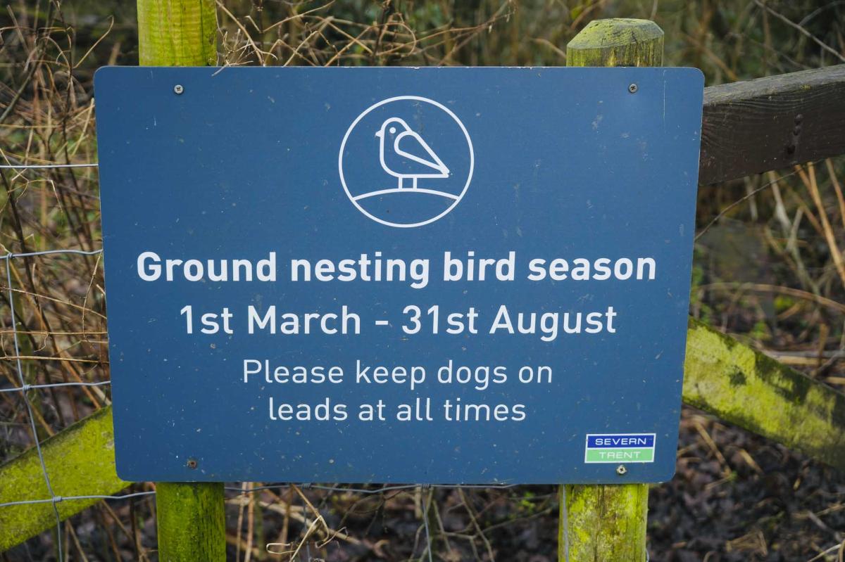
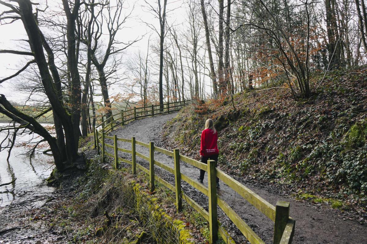
From the car park we set off down the path next to a ‘bird nesting season’ sign. There is a handrail which is great as it can get slippy. Dogs should be on a lead.
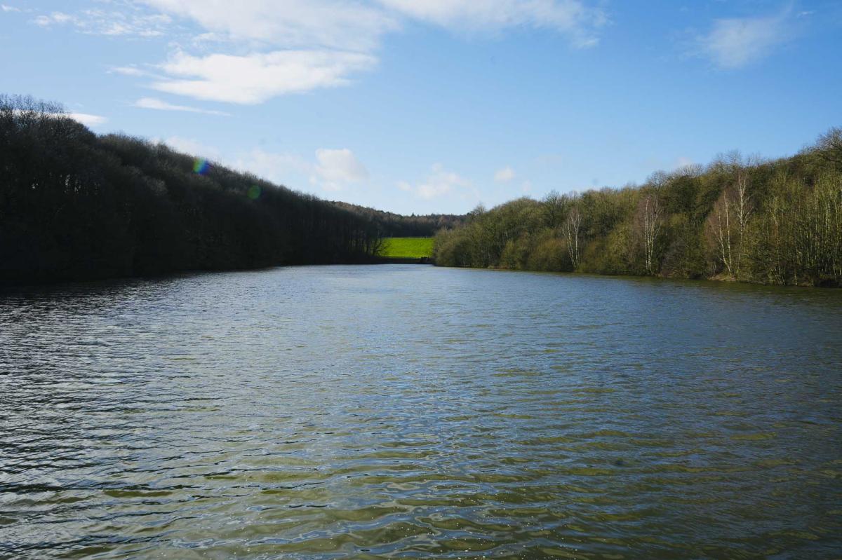
The Middle Reservoir
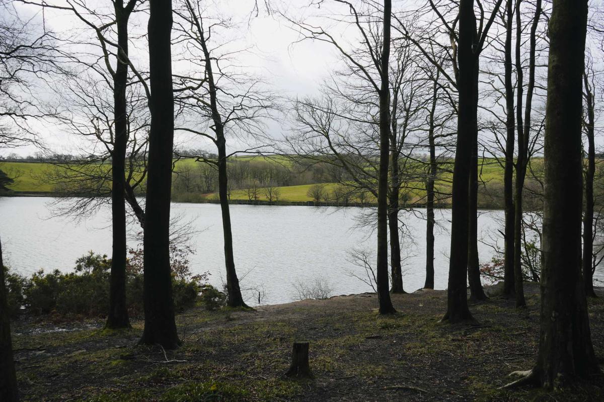
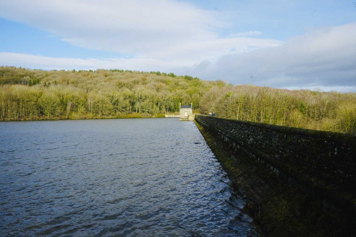
At the bottom of the path turn right and head towards the reservoir straight ahead. This is the Middle Reservoir and was built in 1904. It’s 13 metres deep and can hold 410 million litres of water. When you get to the reservoir bear right and walk through a pair of incredibly old stone gate posts. Looking across the dam on your left you’ll see a small Victorian Pump house. Continue walking with the reservoir on your left-hand side.
(For a shorter walk you could walk across the dam and head back along the opposite side of the reservoir)
But we’re on the 4.7 km walk which takes you around all three reservoirs – The Middle, Upper and Lower.

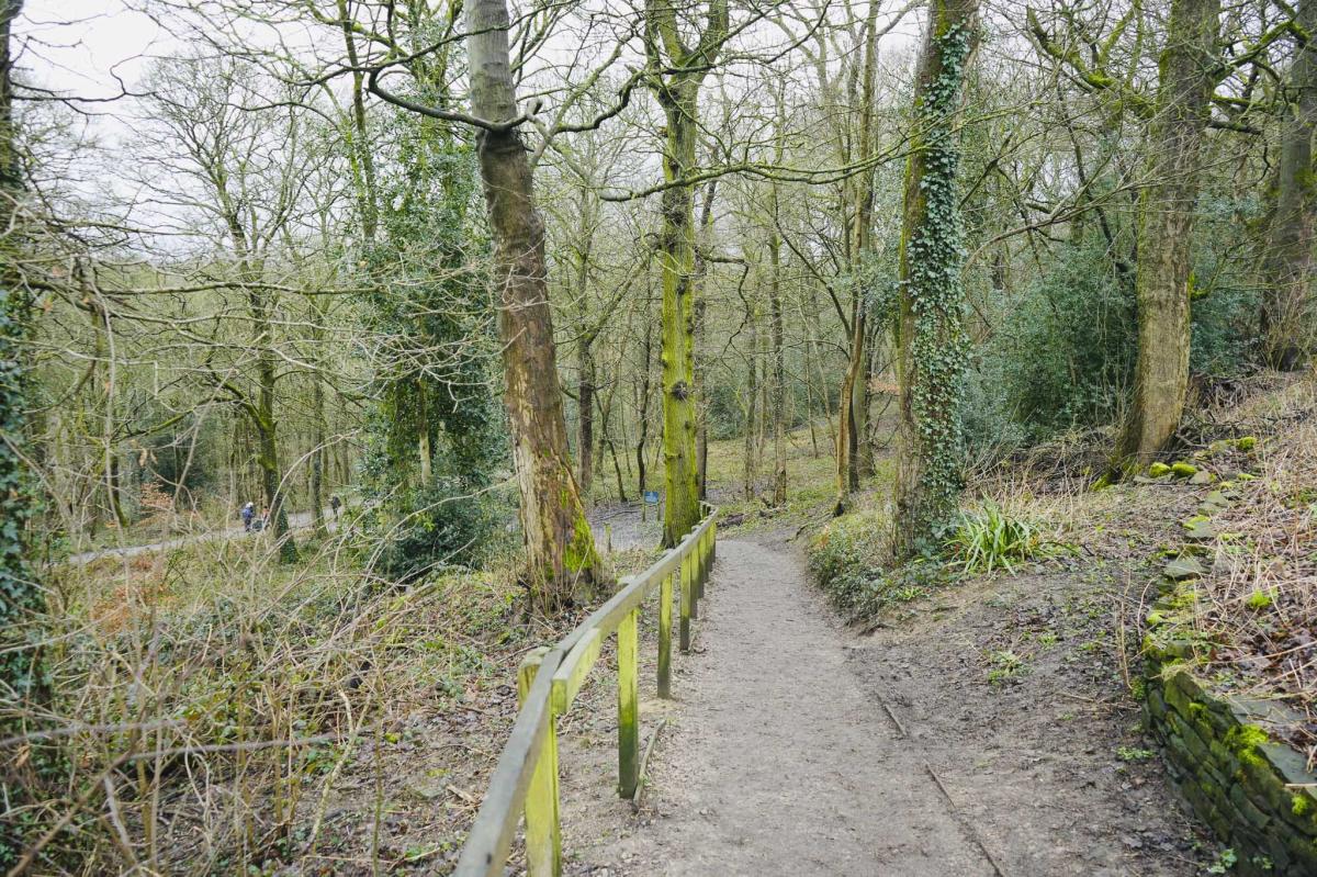
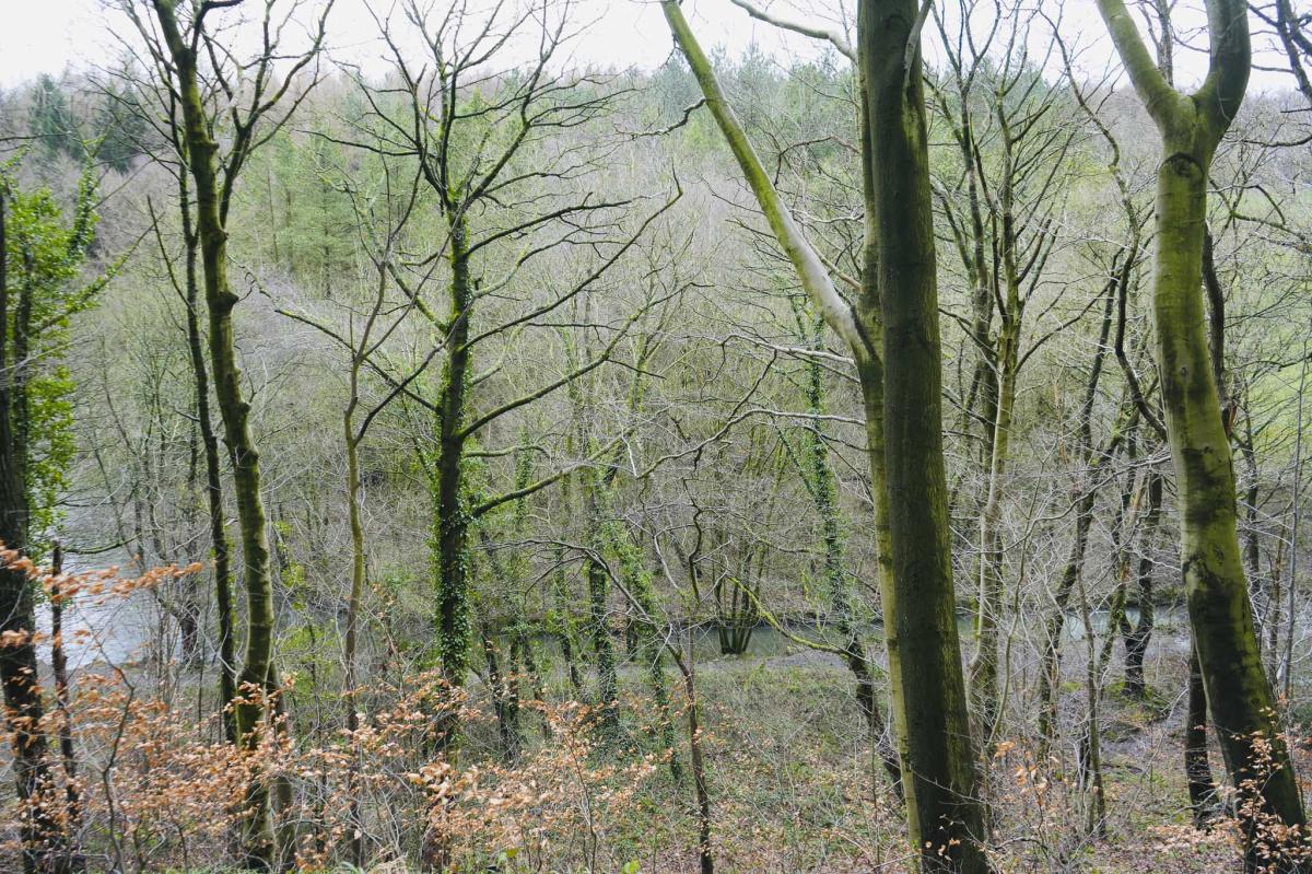
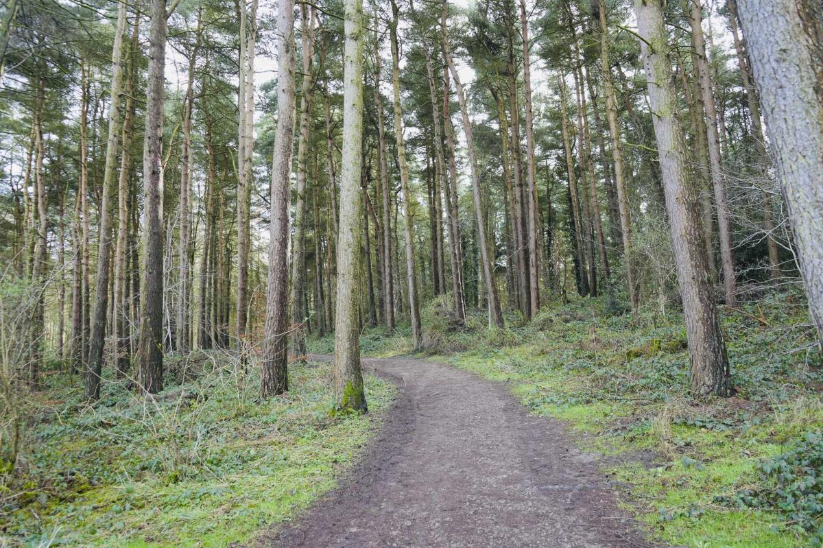
Linacre Wood
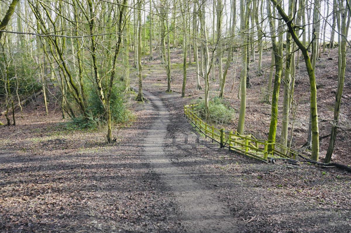
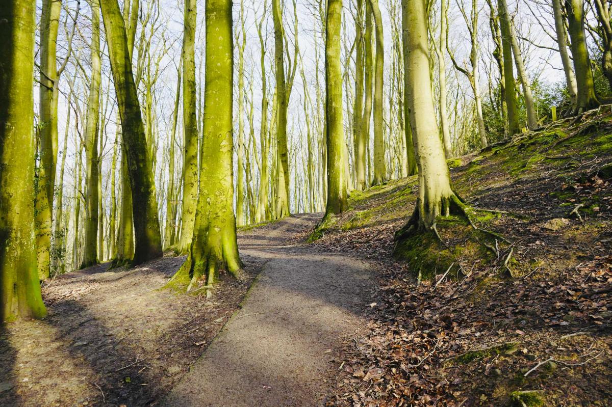
Keep following the path through Linacre Woods which has Oak, Beech, Alder, Larch, and Pine trees.
Fun Fact – Two reasons Conifer trees are planted next to reservoirs:
1. To keep farm animals away, who would pollute the water.
2. Conifers can be felled and sold for timber.
Connecting Rivers
Continue walking as the path slopes down slightly. If you look to your left-hand side, you’ll now see a river below which connects The Middle Reservoir to The Upper Reservoir which is just ahead of you.
The Upper Reservoir
Continue walking up a slight incline bearing right.
Now you’ve reached the Upper Reservoir which was built in 1885. It’s 19 metres deep and can hold 575 million litres of water.
(The Upper Reservoir Dam is on your left-hand side. There is the option here to cut your walk short by crossing the dam and making your way back along the other side).
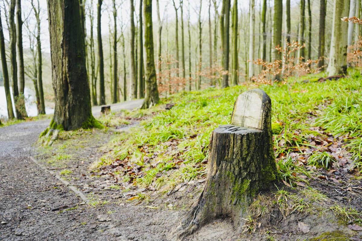
A little way ahead on your right-hand side look out for a cute little seat carved out of a tree stump with the initials AW on it.
There are lovely views across the reservoir, and you can see the boardwalk on the other side which you’ll be walking along very soon.


A Carved Wooden Sign and History of Linacre Woods
Just ahead on your right there’s an old wooden sign telling you about Linacre’s industrial past. 500 years ago, Linacre Woods were part of a busy industrial landscape and the wood you’re now standing in conceals archaeological evidence of quarrying, lead smelting, iron production and milling. There are also impressions on the ground called ‘Q Holes’ which are evidence of the kilns which produced charcoal and white coal. On the sign there is also an interesting carving of a scene depicting this.

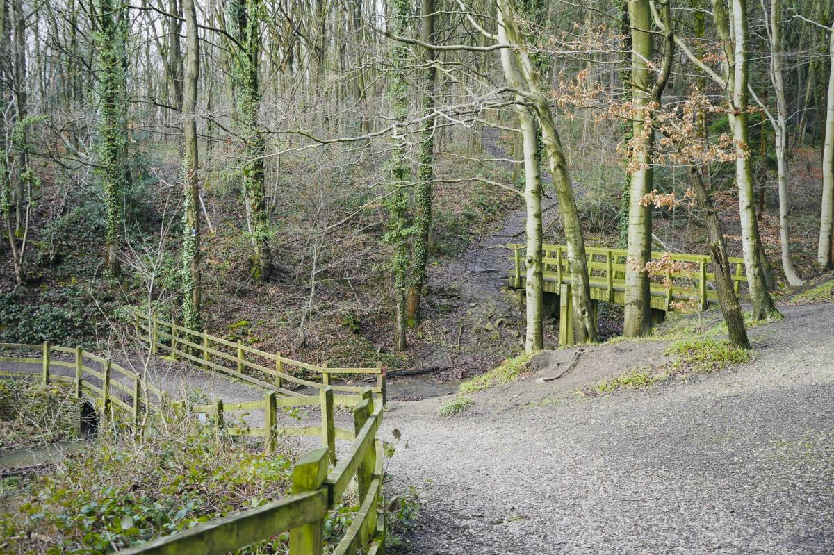
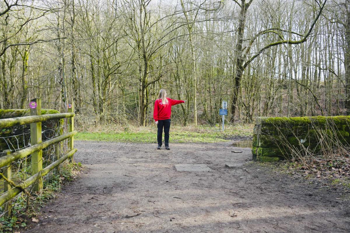
The First Bridge
Continue walking until you reach two small bridges. Cross the first bridge on the left and then walk slightly left up a small incline.
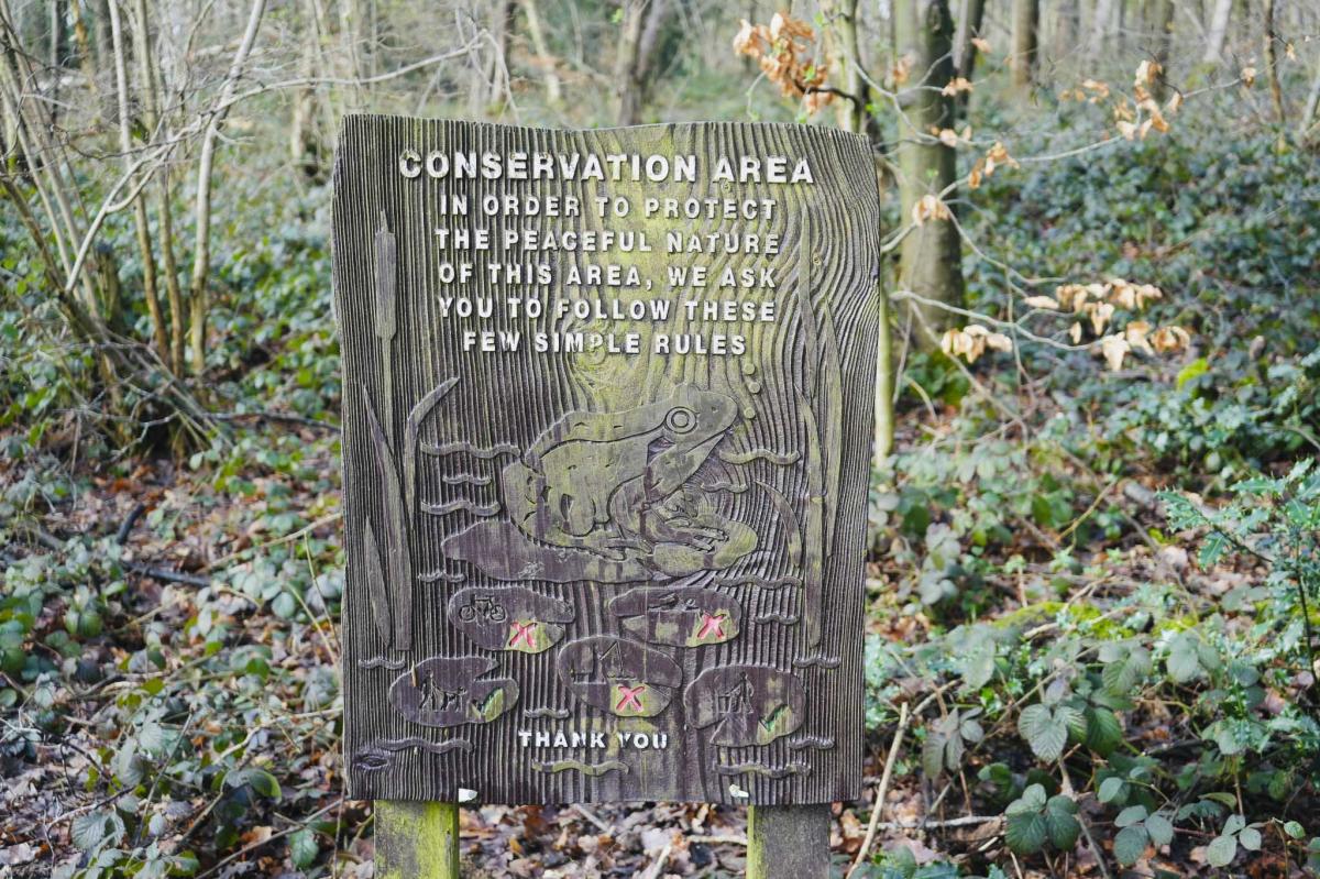
Another Carved Wooden Sign
Just over the bridge there is another interesting carved sign. This one is of a large frog, just to inform you that this is a conservation area.
Second Bridge
Walk along to another bridge. You are now at the far end of the Upper Reservoir and now you’ll be walking back along the opposite side of the reservoir. You may see a small blue sign next to the river informing you that this is a Brown Trout Spawning site and so dogs must be kept on a lead.
Fun Fact – Did you know that Trout Tickling is the art of rubbing the underbelly of a trout with the fingers? If it’s done properly the trout will go into a trance after about a minute and can easily be retrieved and thrown onto the nearest bit of dry land. Trout tickling has been practiced for hundreds of years and is even mentioned in Shakespeare’s play ‘Twelfth Night’. Interestingly, there’s a pub at Barlow called The Tickled Trout.
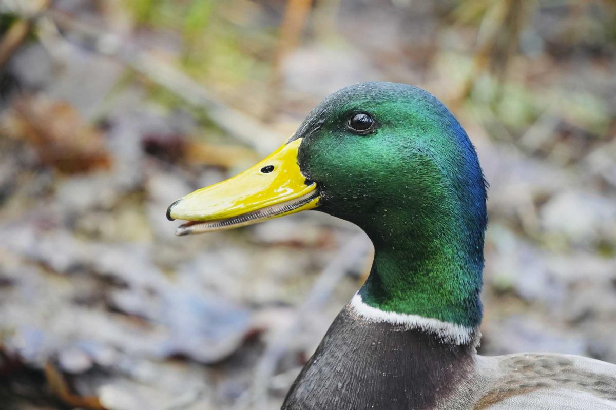
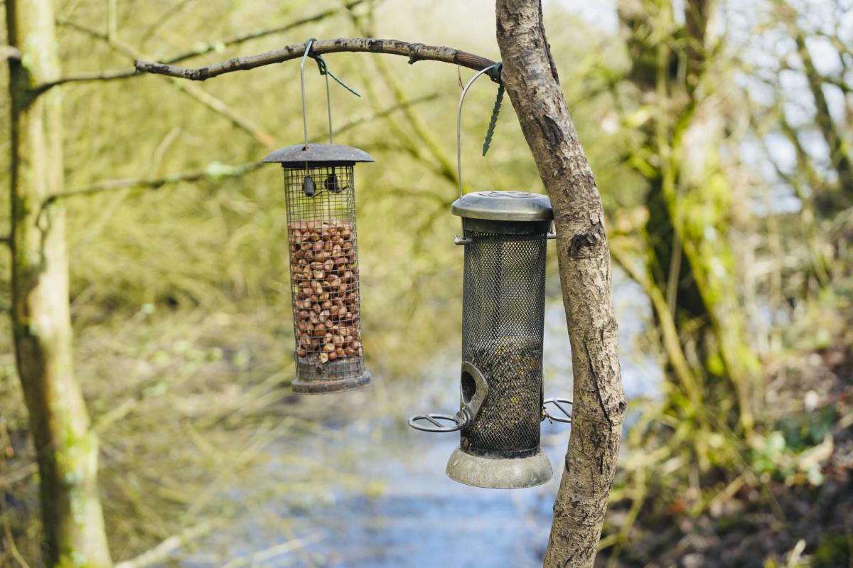
Ducks and Birds
You’ll see ducks splashing about in the small waterfall under the bridge, including exotic Mandarin Ducks, Moorhens, Coots, Teals and Mallards, and there are Robins, Nuthatches and Coal Tits busying about the bird feeders. I’ve heard you can also spot Woodpeckers and Treecreepers too.
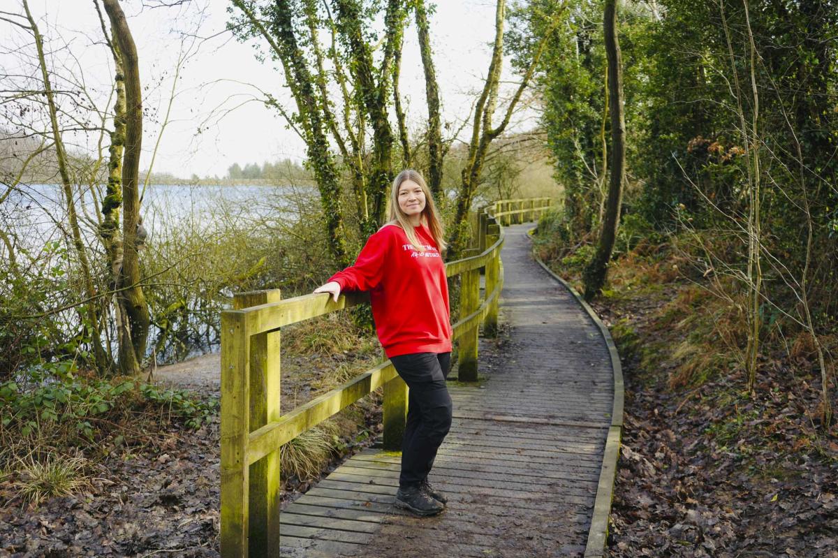
The Boardwalk
This was my favourite part of the walk. I love anything built over water and on several holidays, I’ve stayed in houses on stilts with balconies that reach right over the water. Magical!
This is a long boardwalk that runs along the edge of the Upper Reservoir.

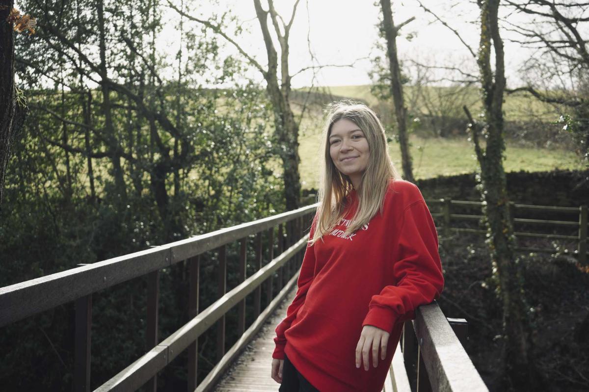
The Third Bridge
After you’ve crossed the boardwalk, you’ll reach another bridge. Go over it and turn left and walk along a narrow path between a fence and a dry-stone wall. The reservoir is still on your left-hand side. It was just here that I spotted the first signs of Spring – a couple of bright yellow crocuses!
Priestfield Wood
Continue walking and you’ll be at the other end of the Reservoir, and you’ll see the weir, the dam, and water gushing into a river. You’ll now be entering a Pine Forest and past another wooden sign illustrating plants and butterflies.
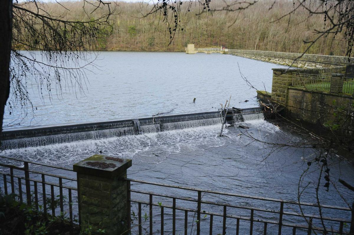
The Dam
At the dam turn right and go down the muddy path and up the other side. It’s a bit steep here but only takes a few minutes to walk up. Follow the path through the woods with the Lower Reservoir on your left-hand side.
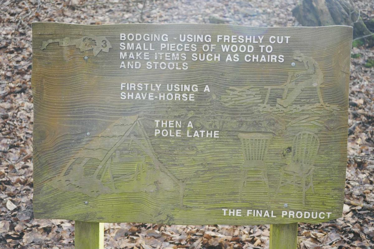
Bodging
More history on another old wooden sign, and this one is all about ‘Bodging’ which is the craft of using small bits of wood to make chairs and stools using a Shave-Horse and a Pole Lathe.
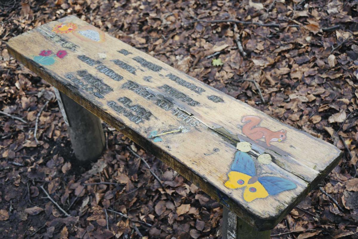
April Phipps Bench
Further on look out for a prettily decorated bench in memory of April Phipps.
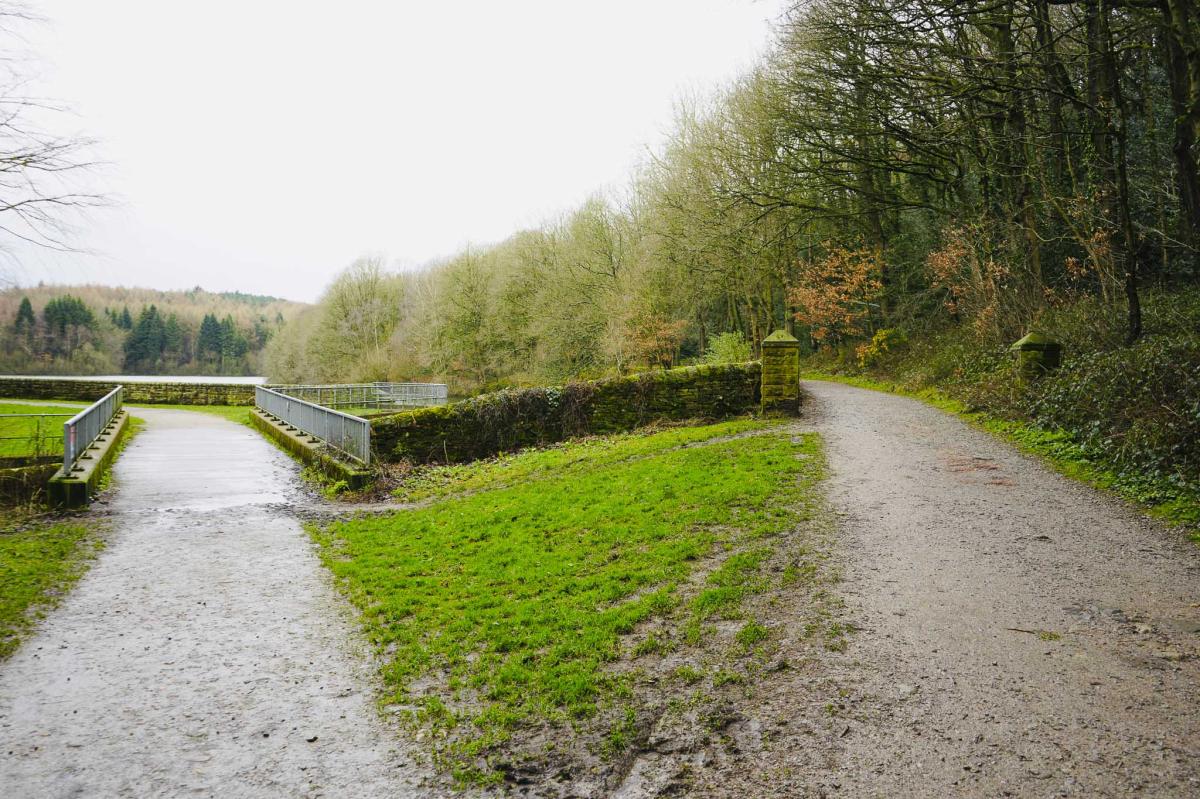
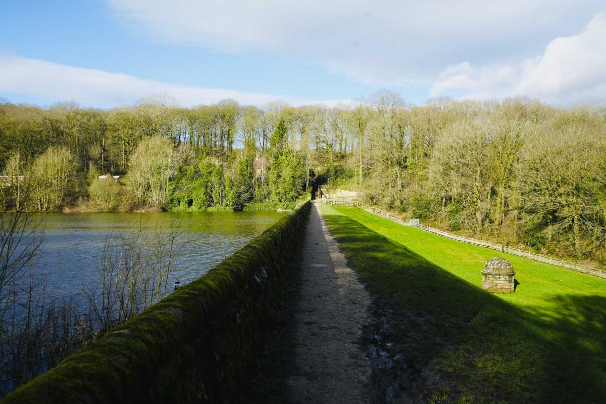
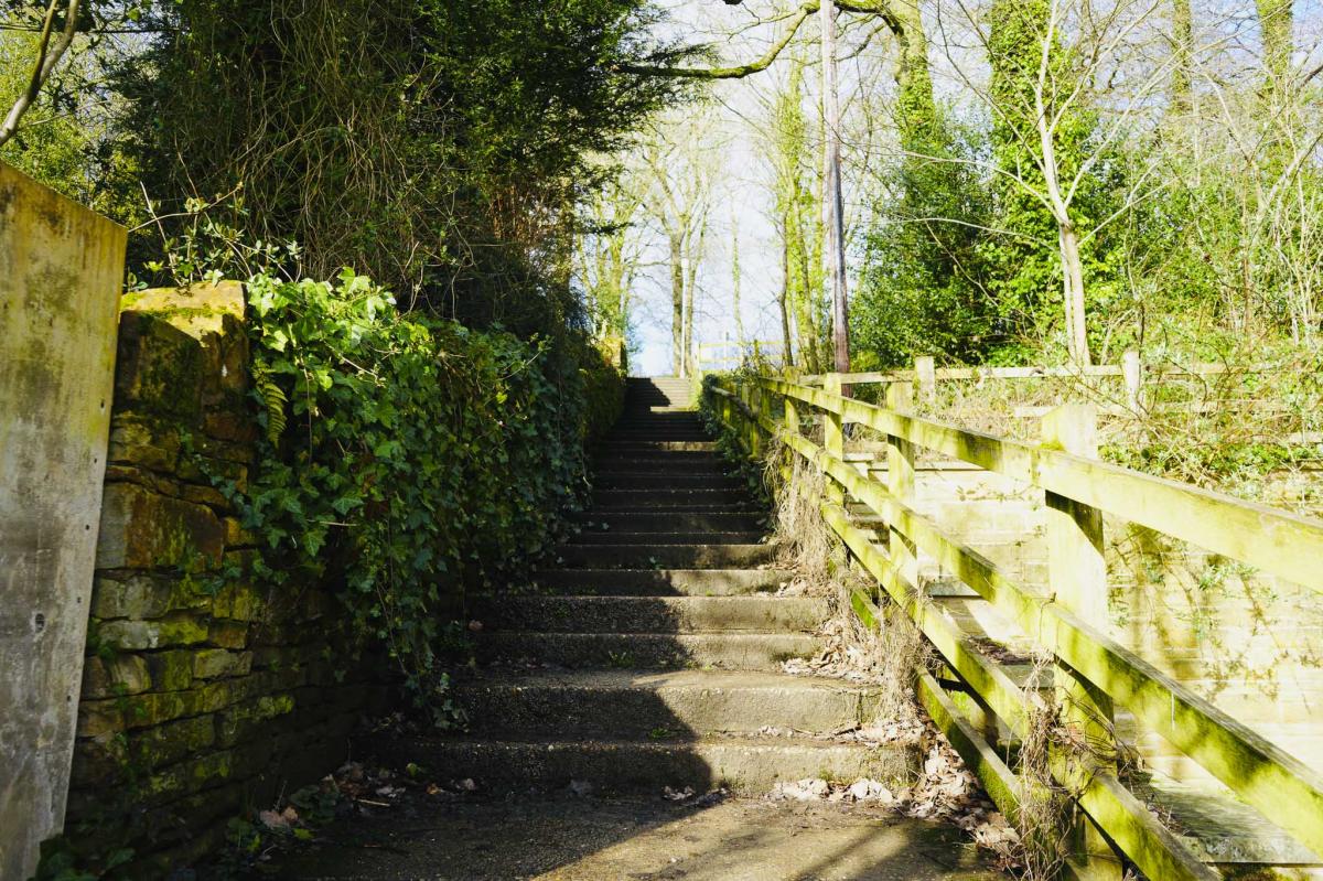
The Lower Dam
Keep walking, not far to go now. At the fork bear left towards the Lower Reservoir Dam and walk across the dam. There’s an interesting domed pump house on the grassy bank to your right. On the other side of the dam go straight ahead up about twenty steps. At the top of the steps turn left to head back to the car park. If you need the toilet, it’s on your right.
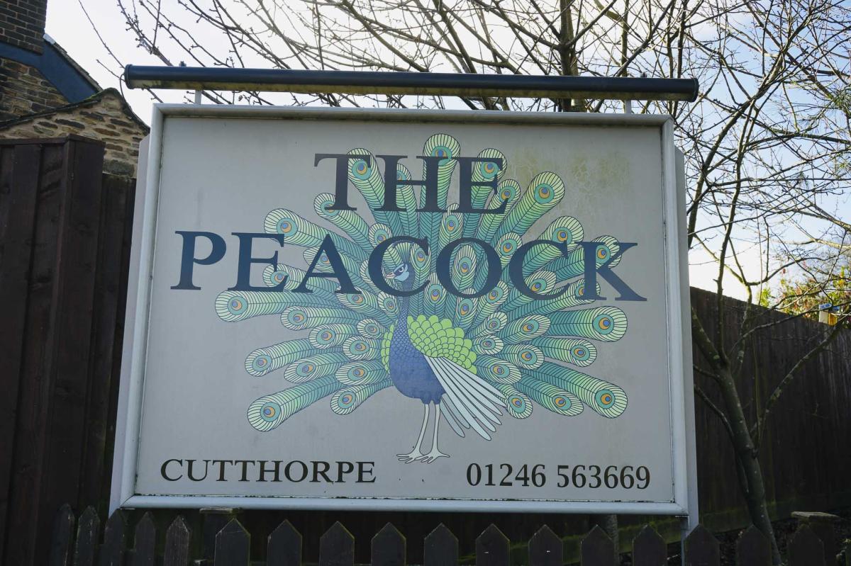
The Peacock Inn
The nearest pub is The Peacock Inn on the Main Road at Cutthorpe, S42 7AS. The pub was the winner of the 2023 best dining pub and 2019 best family friendly pub. It’s also got a fantastic beer garden and children’s play area. It’s open from 12.00pm – 10.00pm every day and food is served Monday to Saturday from 12.00pm till 9.00pm and on Sundays from 12.00pm till 5.00pm.
Final Thoughts
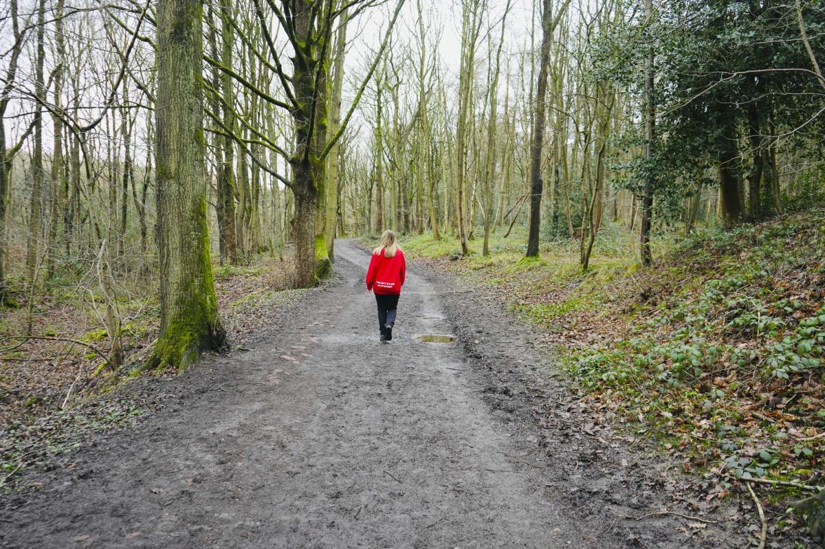
This walk ticked all the boxes for me with its peaceful reservoirs, tranquil woods, interesting history, bridges, a boardwalk, and wildlife. It is an easy family friendly 4.7 km flat route, which took us about 1hr 30 minutes to complete.
AllTrails Route
FAQS
How long is the walk around Linacre Reservoir?
The walk is a 4.7km circular route, typically taking around 1hr 30 minutes to complete, however there are a lot of other routes you can take to cut the walk short.
Do you have to pay for parking at Linacre Reservoir?
Yes, parking costs £2.00 for up to 2 hours or £3.50 for a full day.
Is Linacre Reservoir pram friendly?
There are some paths on this particular walk which are suitable for prams, however there are also parts in this walk which are very muddy, if you stick to the main paths a pram would be ok.
When was Linacre Reservoir built?
The reservoirs were constructed at different times, with the Middle Reservoir completed in 1904, highlighting the area's rich history and significance in supplying water to Chesterfield.
What wildlife can be spotted around Linacre Reservoir?
You can spot various bird species, including nuthatches, flycatchers, and woodpeckers, making it a perfect location for bird-watching and nature photography.