Have you visited Ashover yet? It’s one of the prettiest villages in Derbyshire and has a 15th century church, lots of historic buildings and is surrounded by beautiful countryside.
It’s a great place to explore, especially as it’s only 7.3 miles from Chesterfield. This walk is a moderately challenging 4.5 miles with just a few inclines.
To get there you can either catch the Line 63 bus from Chesterfield or drive and park for free at the cricket club. (S45 0AB).
There doesn’t appear to be any public toilets in the village, although there is an arrow indicating them and pointing up the road to the right of the Black Swan Pub. However, I couldn’t find them, luckily the pub had just opened, and the kind landlord allowed me to use theirs. Of course it was only fair of us to have a drink there after our walk!
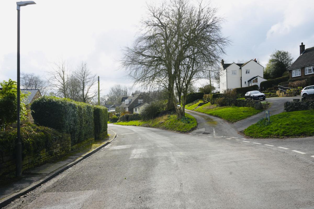
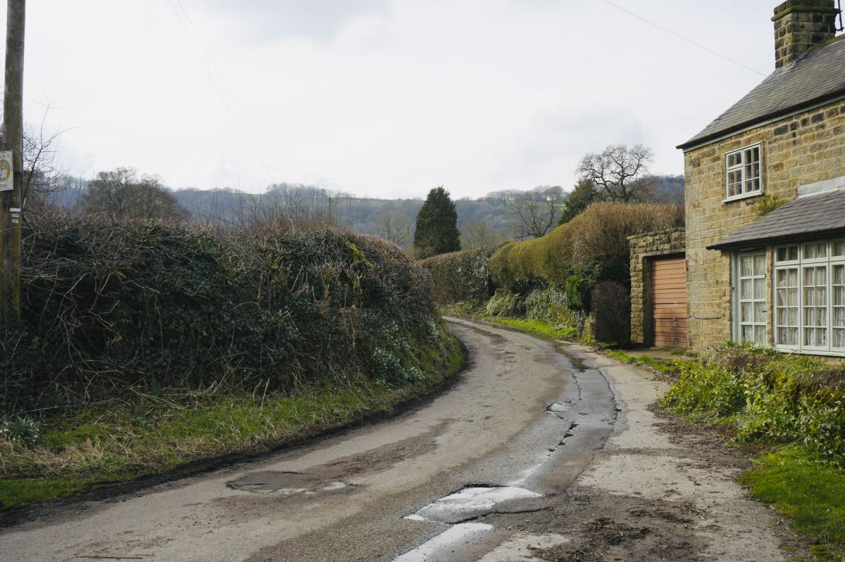
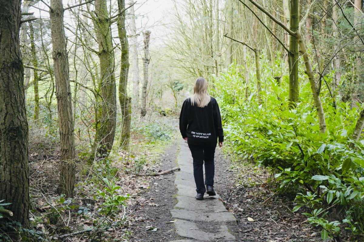
This fantastic walk takes you all around the countryside surrounding Ashover, and begins outside The Black Swan Pub.
Fun Facts: During the 18th century Ashover was a hive of activity with lead mines, coal smelting, lace, flour mills, shoemakers, nail makers, basket makers, stocking frames and rope works. By 1966 the main industries were mining, quarrying and agriculture. Today all the industry has gone and Ashover is a beautiful dormitory village for people commuting to Sheffield, Chesterfield and Matlock.
The river Amber flows through the village.
Key information
- Type of walk: Countryside Circular Walk
- Average time to complete: 2-3 hours
- Where to park: Free parking at the cricket club (S45 0AB)
- Toilets nearby: Available in local pubs
- Dog Friendly: Yes
- Kid friendly: Yes, with supervision on uneven terrain
- Recommended Footwear: Hiking boots or sturdy walking shoes
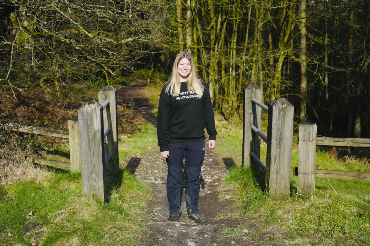
The Start of the Walk
Having parked at the cricket club next to the tennis courts on Milken Lane (S45 0AB), you’ll easily spot the Black Swan pub as you go left out of the car park.
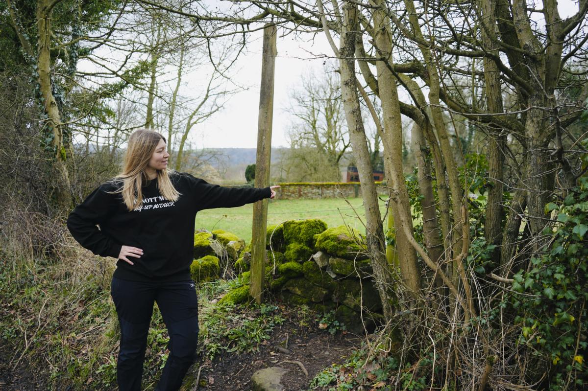
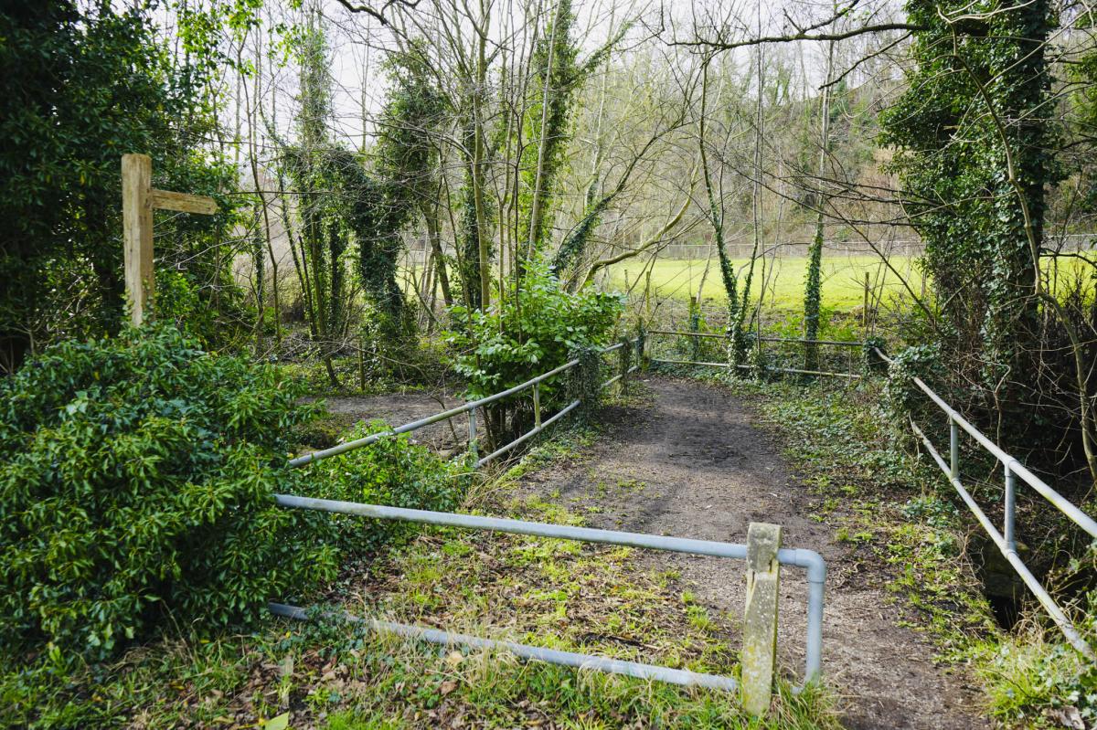
The walk begins at a green sign that says Public Footpath which is a few metres up from the pub. The path leads you into a field. Walk straight ahead to the top of the field and go through a gate.
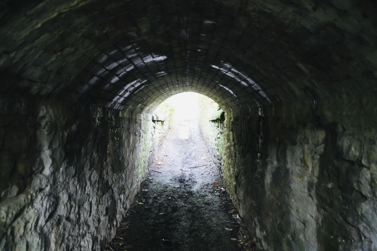
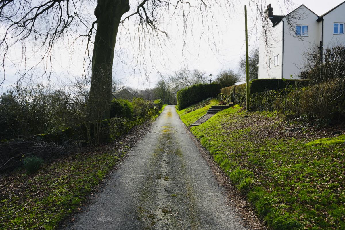
Continue along a narrow path and go under a small bridge. Mind your head if you’re tall as it’s rather low. Now there is a slight incline to a second bridge to walk under and again mind your head.
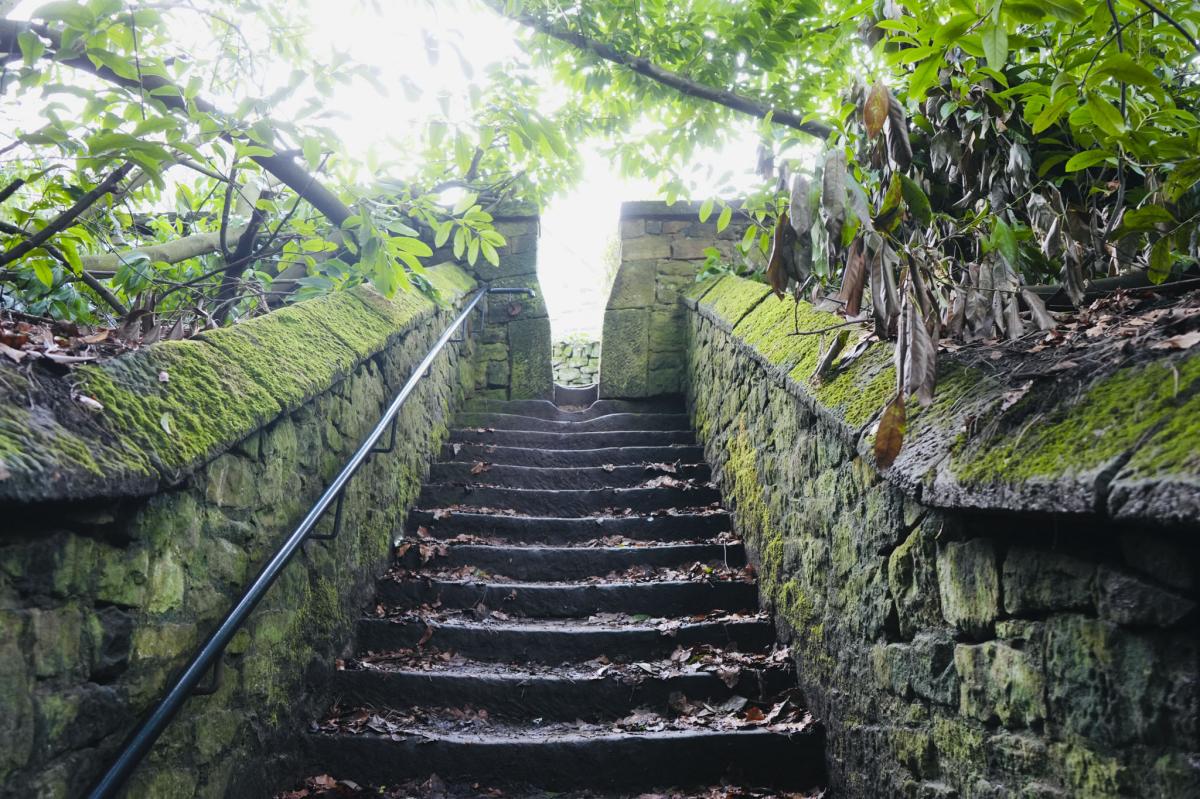
Continue up a flight of 15 steps and at the top turn left and walk up the road for approximately 20 metres. On your right you’ll come to a path leading into a field. There is a footpath marker to indicate this which is hidden by tree branches, but is revealed when you go up.


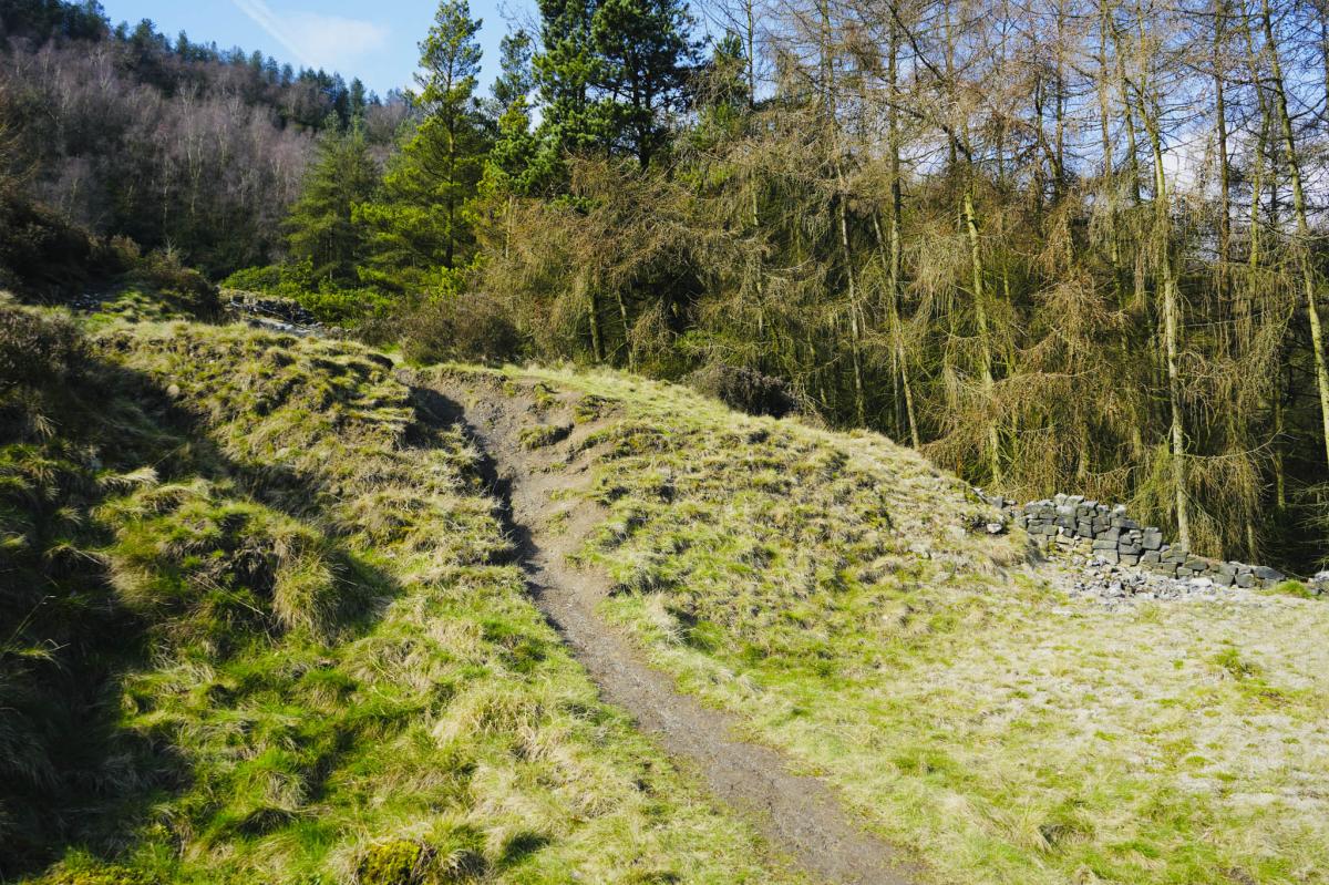
Heathland and Muddy Incline
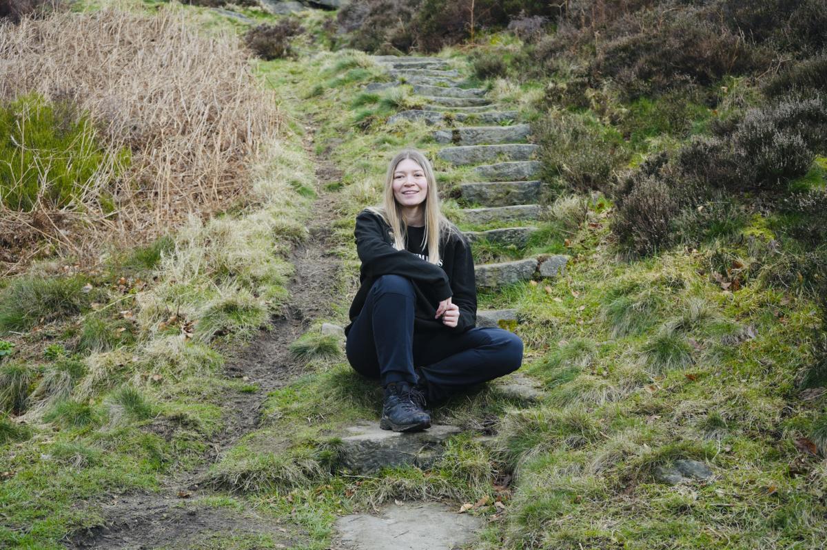
Go up the field which gets quite muddy after rain, and keep to the right. It’s quite steep in places. Do stop to catch your breath halfway up if you need to, and turn around to admire the lovely view. Near the top there are stone steps to clamber up. Be careful as they can be slippery when it’s been raining.
360 Degree Views at Ashover Rock
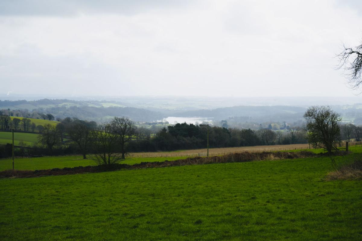
At the top enjoy the fantastic panoramic view of North East Derbyshire.
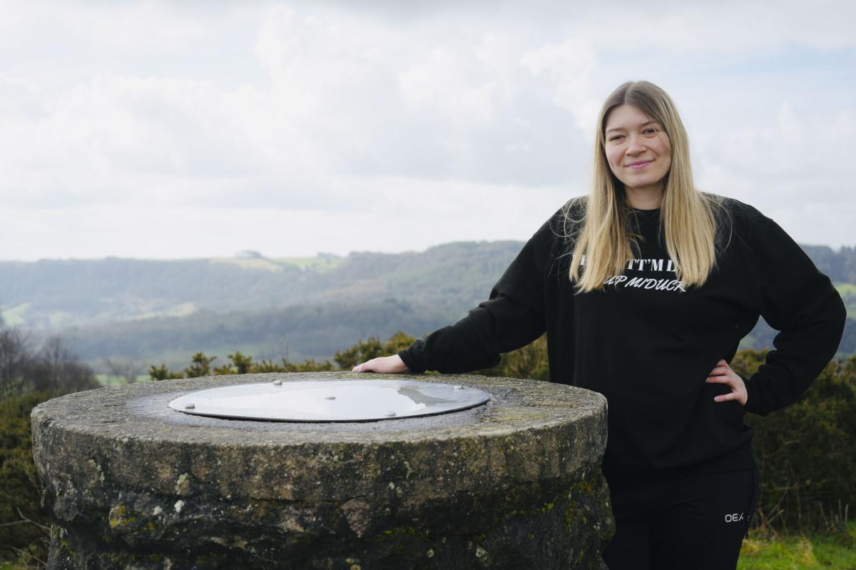
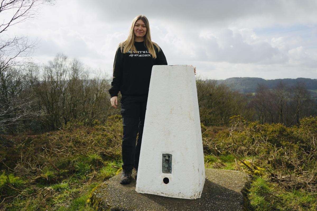
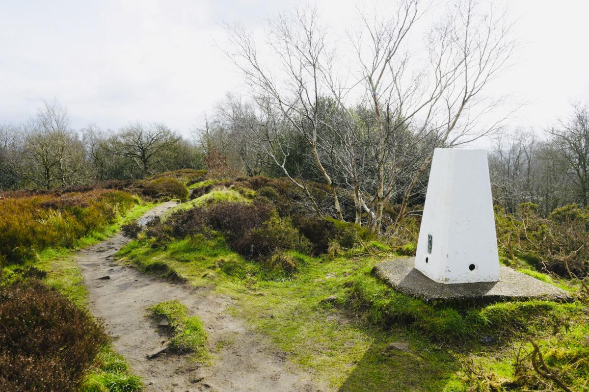
Turn right and head towards a huge rock otherwise known as Ashover Rock (The Fabrick). Close by you’ll see the white stone trig with a small stone bench next to it. Have a rest and enjoy the scenery!
There is a Toposcope which I found fascinating.
Next to the Fabrick is an ROC monitoring station (Royal Observer Corps) which was abandoned in 1991. During the Cold War the government installed 1563 of these manned bunkers across the country in case of a nuclear attack.
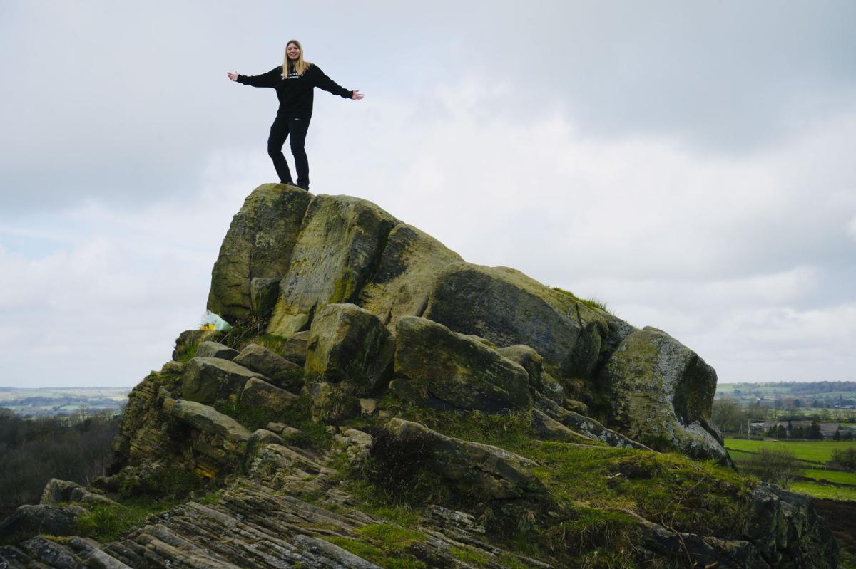
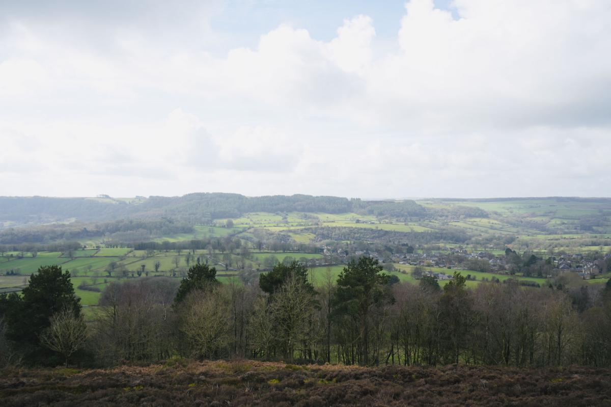
Fun Facts: The Fabrick is 299 metres above sea level and is the highest viewpoint in the area. On a clear day you can see the crooked spire of Chesterfield, Bolsover Castle, Hardwick Hall and right across to Sheffield, Nottinghamshire, Staffordshire, Leicestershire and on a very clear day with binoculars, Lincoln Cathedral!
For a long time, the Fabrick was owned by the Bassett sisters who were descendants of the family that made Bassetts Liquorice Allsorts. They donated the Fabrick to Derbyshire County Council in 2006.
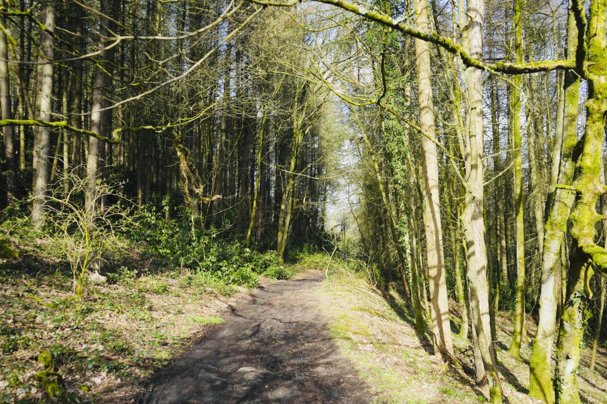
Woodland
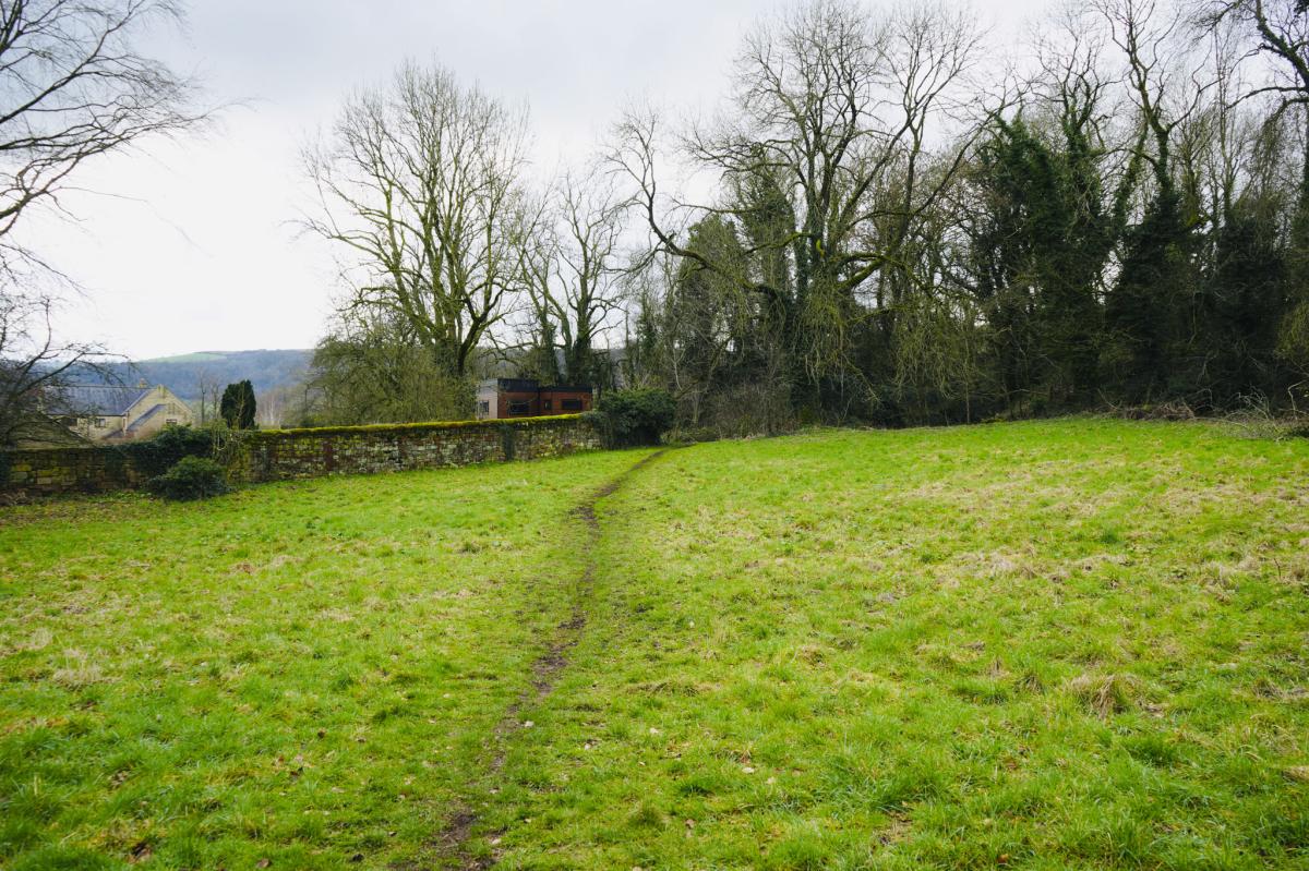
Continue along the path past the Fabrick with the trig on your right.
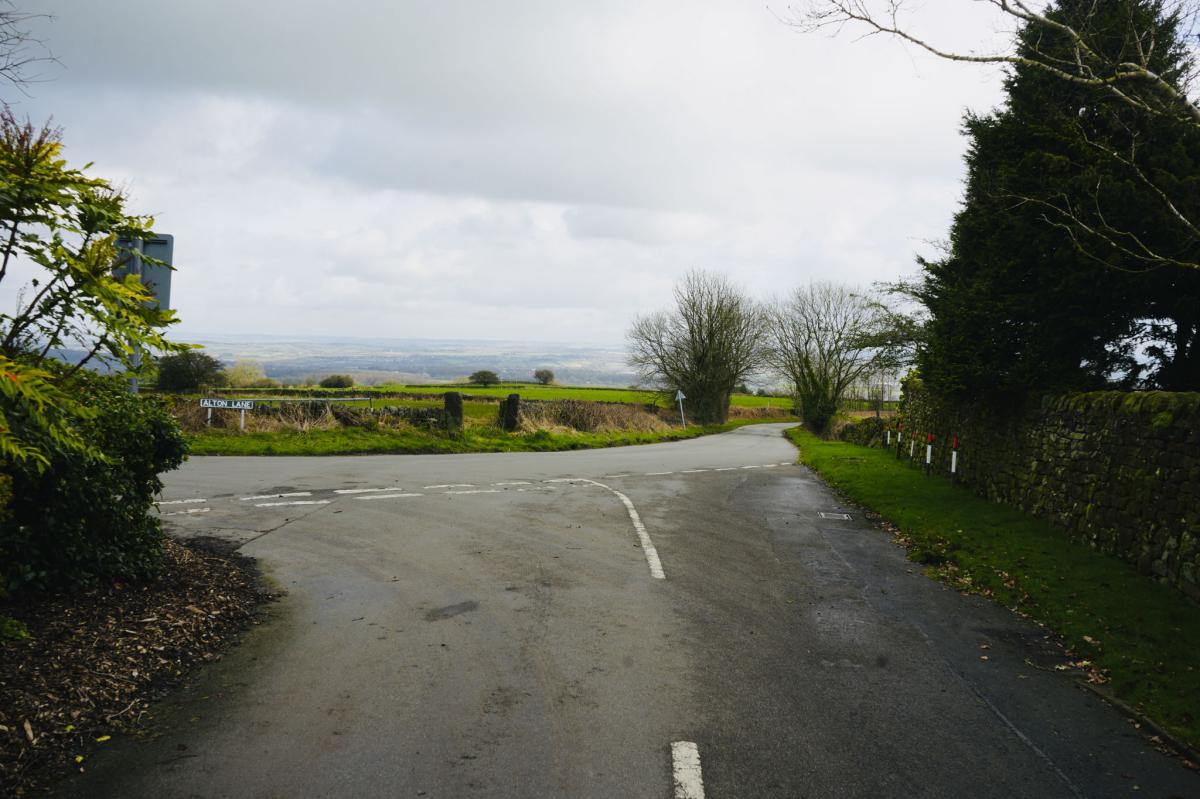
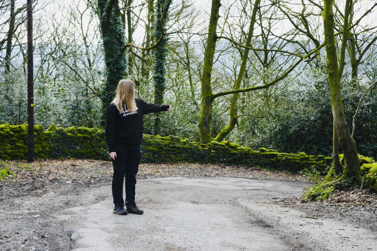
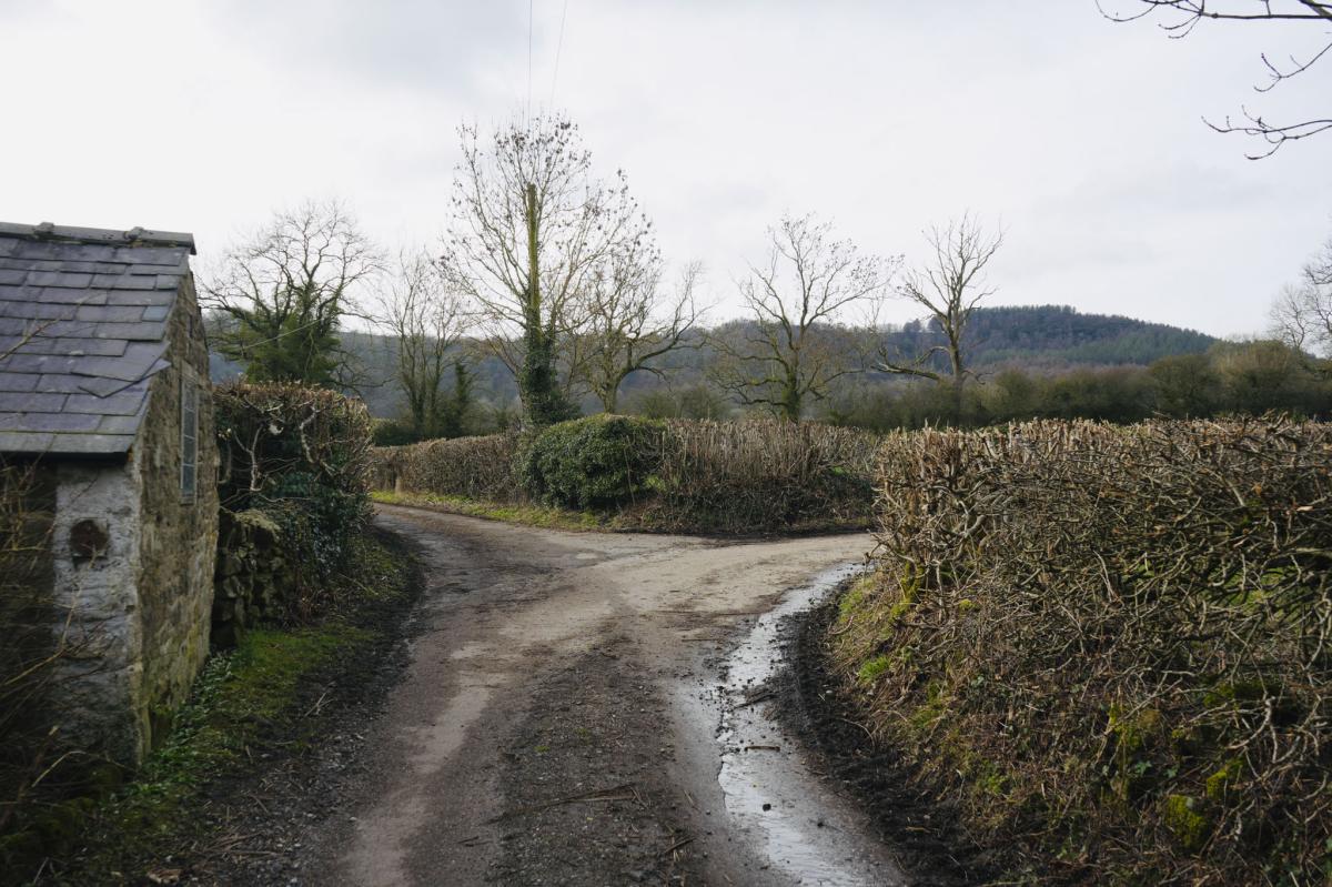
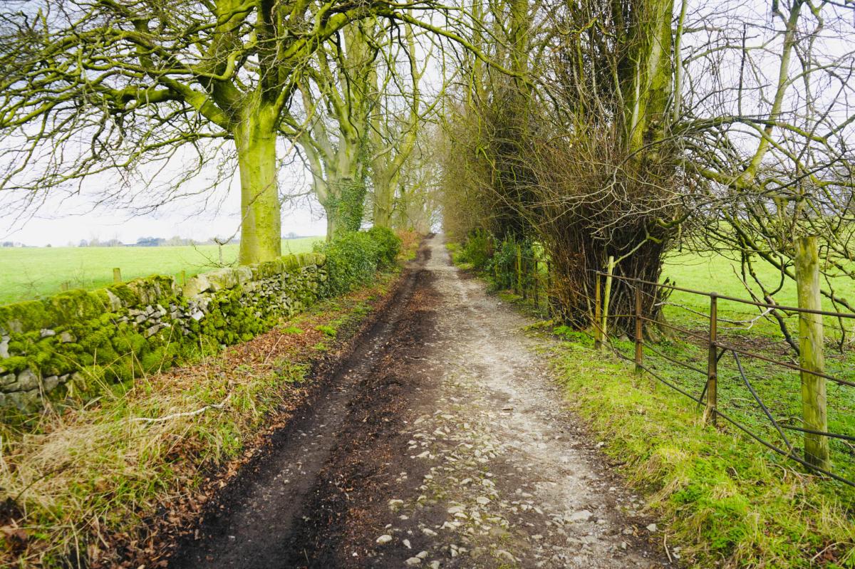
The path drops down into the woods. You’ll soon come to a road. Turn left at this road onto Milken Lane and follow it down to a junction.
At the junction continue to the right down Alton Lane.


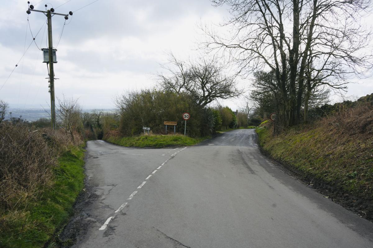
Littlemoor Village
Continue along this stretch of road and you’ll arrive at Littlemoor Village.
When you get to the Littlemoor sign keep right and continue walking through the village. You’ll see Ogston Reservoir in the distance.
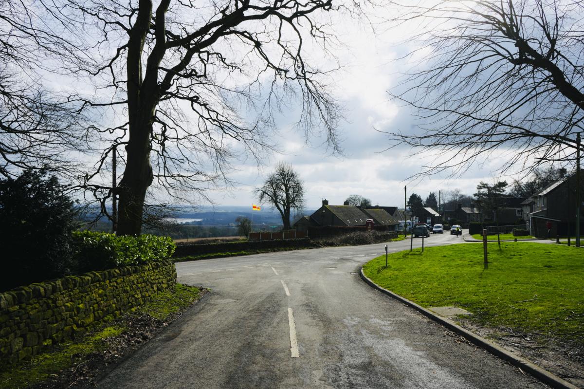
At the T junction follow the sign to Woolley Moor and Ashover. You’ll see an old red phone box (now a defibrillator) on your left.

Fun Facts: At Christmas carol singing takes place on the village green, and the old chapel in the middle of the village is now a holiday home.
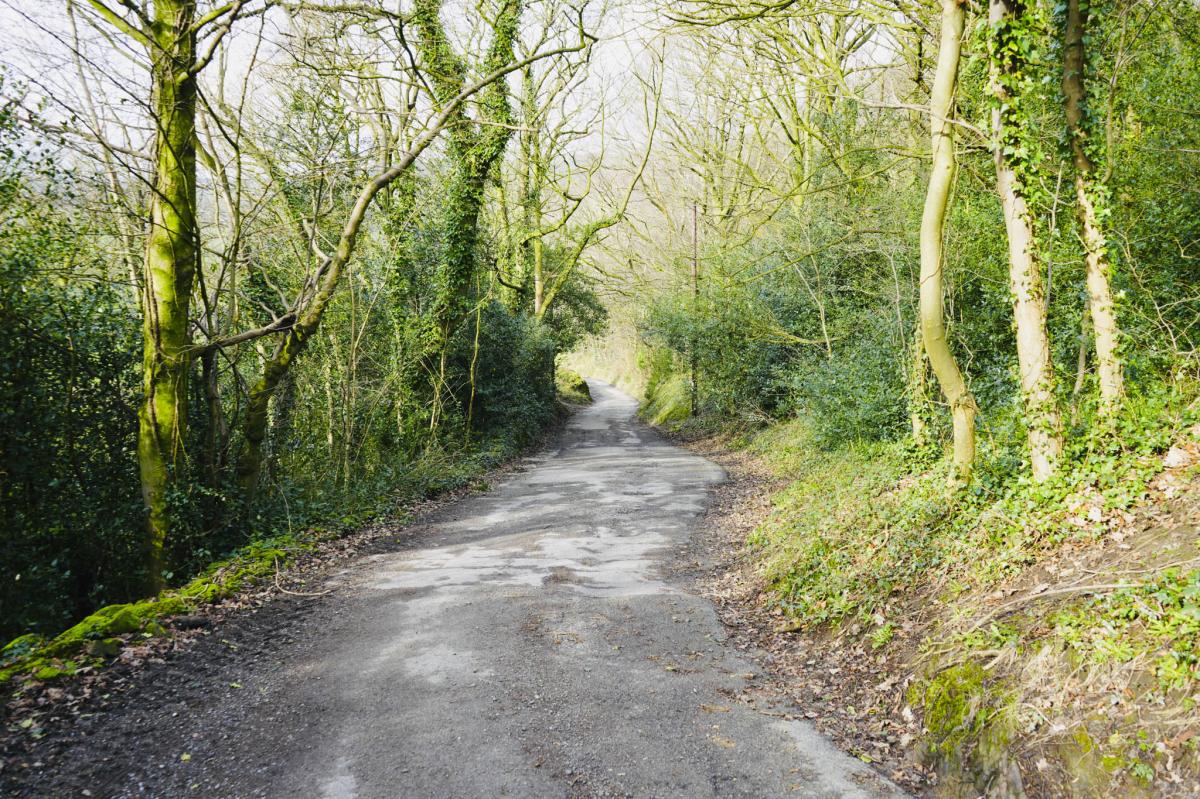
Continue until the road forks to the right and go up Eastwood Lane. This rough road goes up and down and round a bend, and then to the right and down a steep hill.
Farm Buildings
This rough road continues through a cluster of farm buildings. Keep walking until you reach the T junction where you turn left onto Hard Meadow Lane.
Walk along this road to a finger sign on the right indicating a public footpath. The finger sign is quite hidden. In the distance there is a brown wooden building on wheels which you will walk past. (Disclaimer – This maybe moved as it’s on wheels!)
Follow the public footpath going across a small field. It’s a well-trodden muddy path.


Fall Hill Quarry
Continue to a metal gate and go through this and keep walking down the path.
On your right-hand side look over the fence and see the abandoned Limestone, Lead and Fluorspar Quarry below. It’s now partially flooded with water and is nicknamed The Green Lagoon. Swimming is forbidden. This was a great opportunity to get my drone out!
Walk up the Road
Continue along this path until you reach 9 stone steps. Go down them and you come to a road.
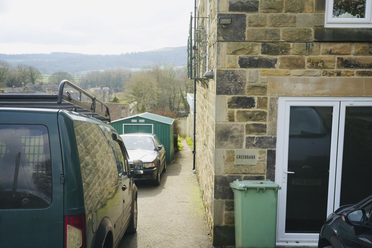
Turn left and walk up the road for a little way until you reach a finger sign indicating a public footpath. The narrow public footpath runs along the side of a house called ‘Greenbank’. You’ll walk between a green garage on your left and a noticeboard on the wall on your right-hand side.
Over the Stream
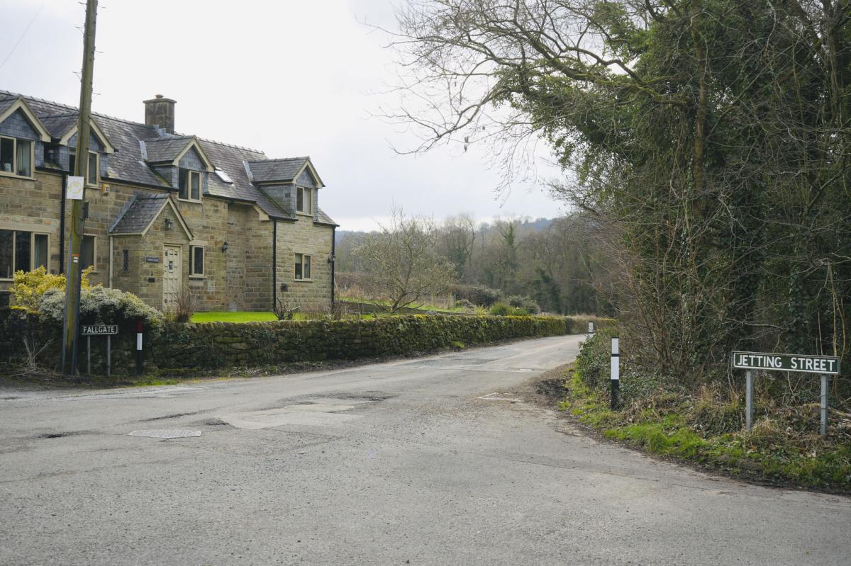
Continue to a small bridge over a stream, and you’ll soon come to a road. Walk straight ahead along Fallgate Road with the River Amber on your right-hand side.
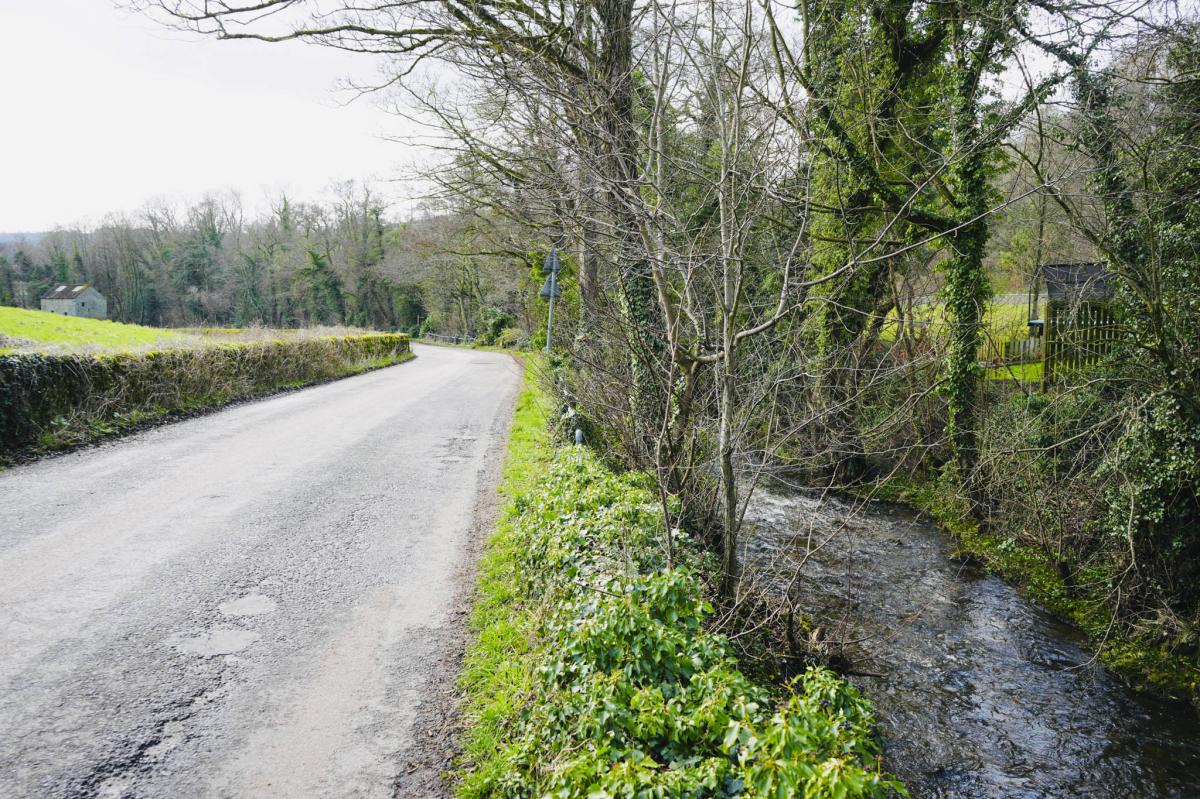
Now continue down the road for a short distance to a Public Footpath finger sign on the right. Follow the sign crossing over the river and walk along the riverbank with the river now on your left-hand side. You’ll pass a small waterfall.
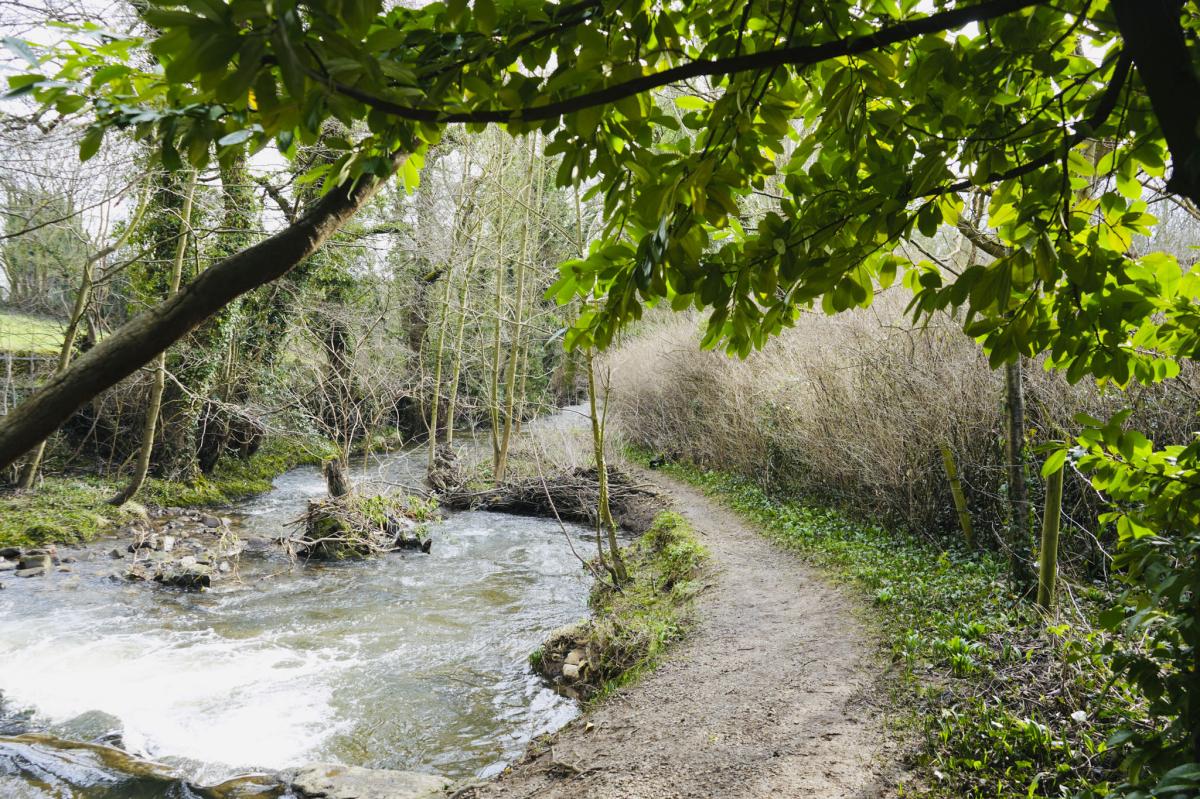
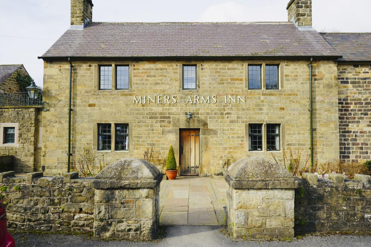
Small Waterfall and Miners Arms Inn
Continue until you come to a fork in the path and bear left.
You’ll arrive at the back of a pub called Miners Arms Inn. Note: The pub doesn’t allow muddy boots, but you can take them off at the entrance if you need a pit stop.
When you get to the front of the pub go right up the lane passing Brookside cottage on your right and continue round to the right at the fork. Walk along the road and at the signpost further up, bear left along a public bridleway.

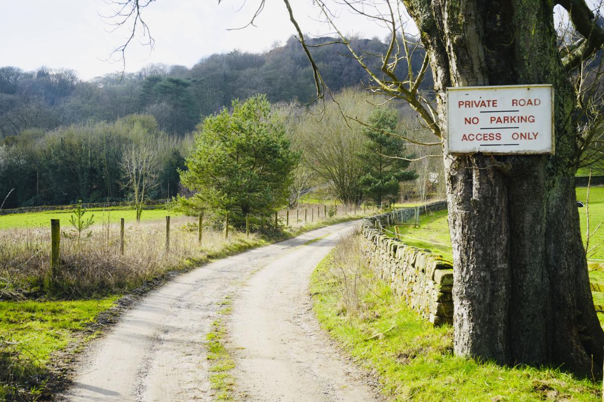
Carry on along this road past a sign on a tree that says, ‘Private Road, No Parking, Access Only’.
Follow the road up along the gravel path and then bear right. You will come to a small sign saying ‘1 Ravensnest Cottages’.
Old Chimney
There is a green arrow for the path up. Keep going and follow the winding muddy path.
On your left you’ll see a big old chimney.

Fun Facts: This is the Gregory Mine chimney and dates to the early/mid-19th century. It was used for lead smelting and is a Grade 11 listed building.
Continue along the path and follow it around to the right. You need to immediately turn right here. The chimney will now be on your right.
You now need to turn left up a short bank, keep going up until you reach a walk-through metal fence (on your right).

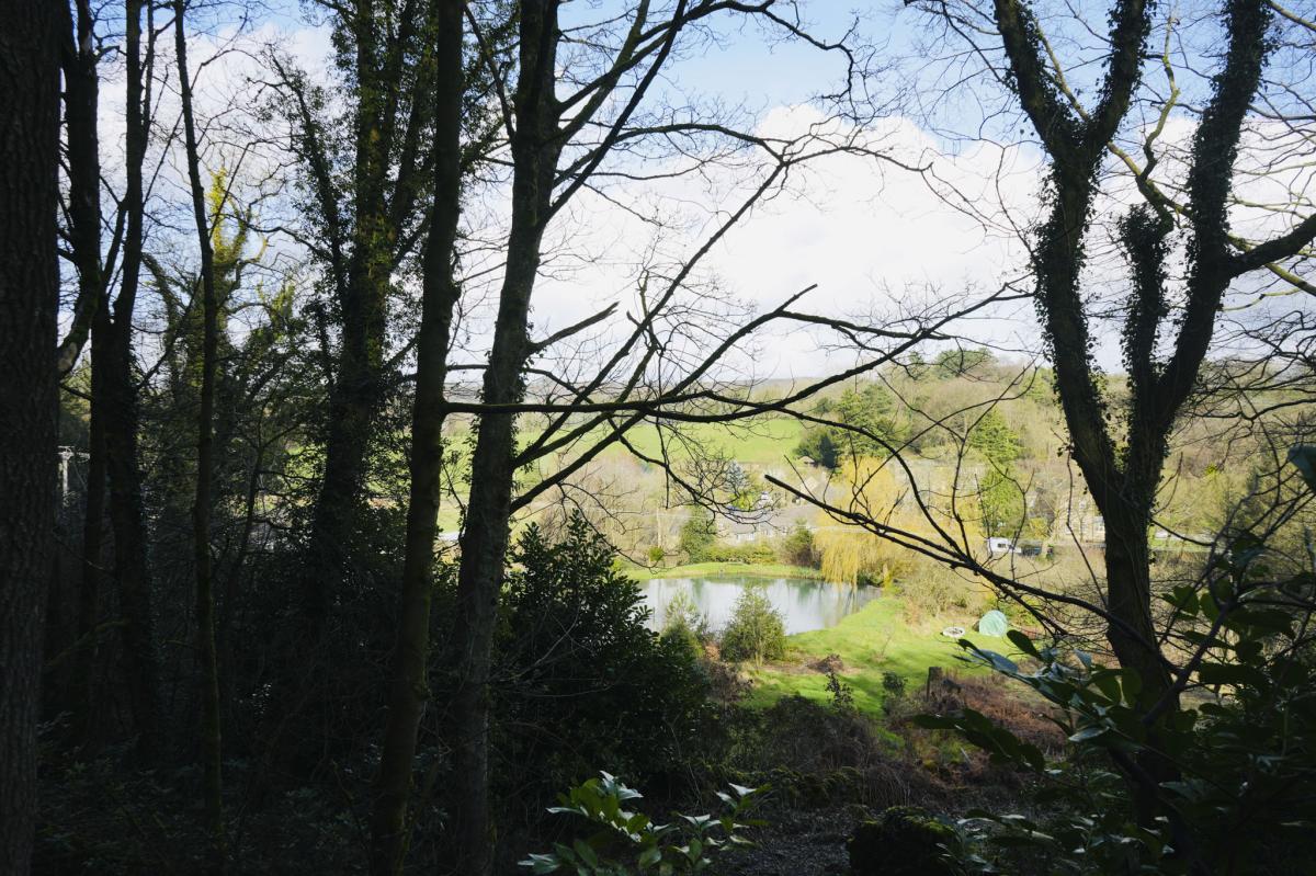
Into the Woods
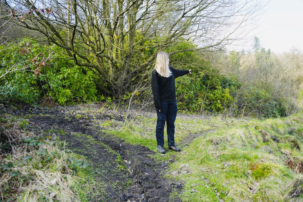
Go through the walk-through metal fence and into the woods. After a short walk, you’ll see a beautiful pond on your right.
Rugged Paving Slabs
Keep following the muddy path down until you get to some rugged paving slabs. Do be careful on these. I tripped up and banged my knee! Ouch!
At the end of the path, go straight over and up another track.
Continue until you reach a cattle grid. Turn left here and don’t cross the cattle grid or go through the gate, but instead follow the public bridleway to your left.
Back at Ashover Village
After a short while turn right down the public bridleway towards the village. Enjoy the stream and keep following the path until you reach a bridge.

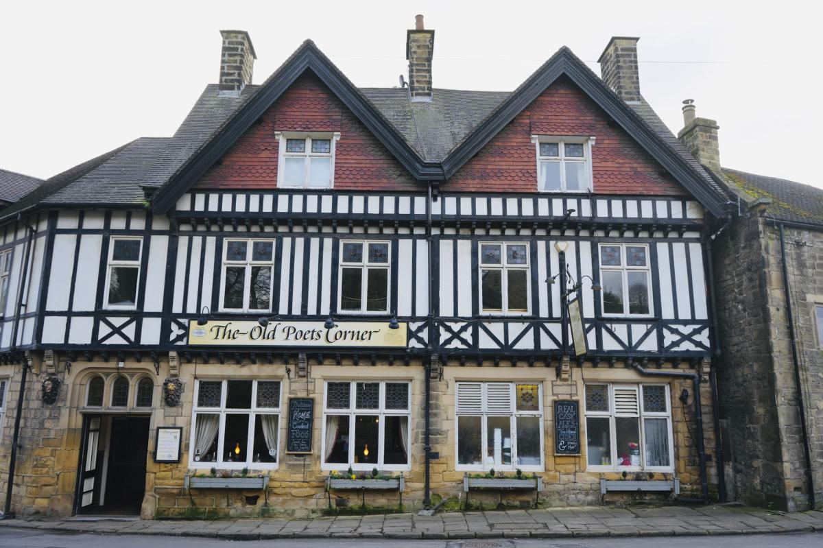
Old Poets Corner
Cross the bridge and walk up the path to the Old Poets Corner pub on your left.
This traditional pub serves real cask ales, traditional cider, home cooked food and it’s also a B&B with five ensuite rooms. It was named CAMRA (Campaign for Real Ale) Pub of the Year in both 2006 and 2009.
Go left at Old Poets Corner and then right at the junction towards the church.
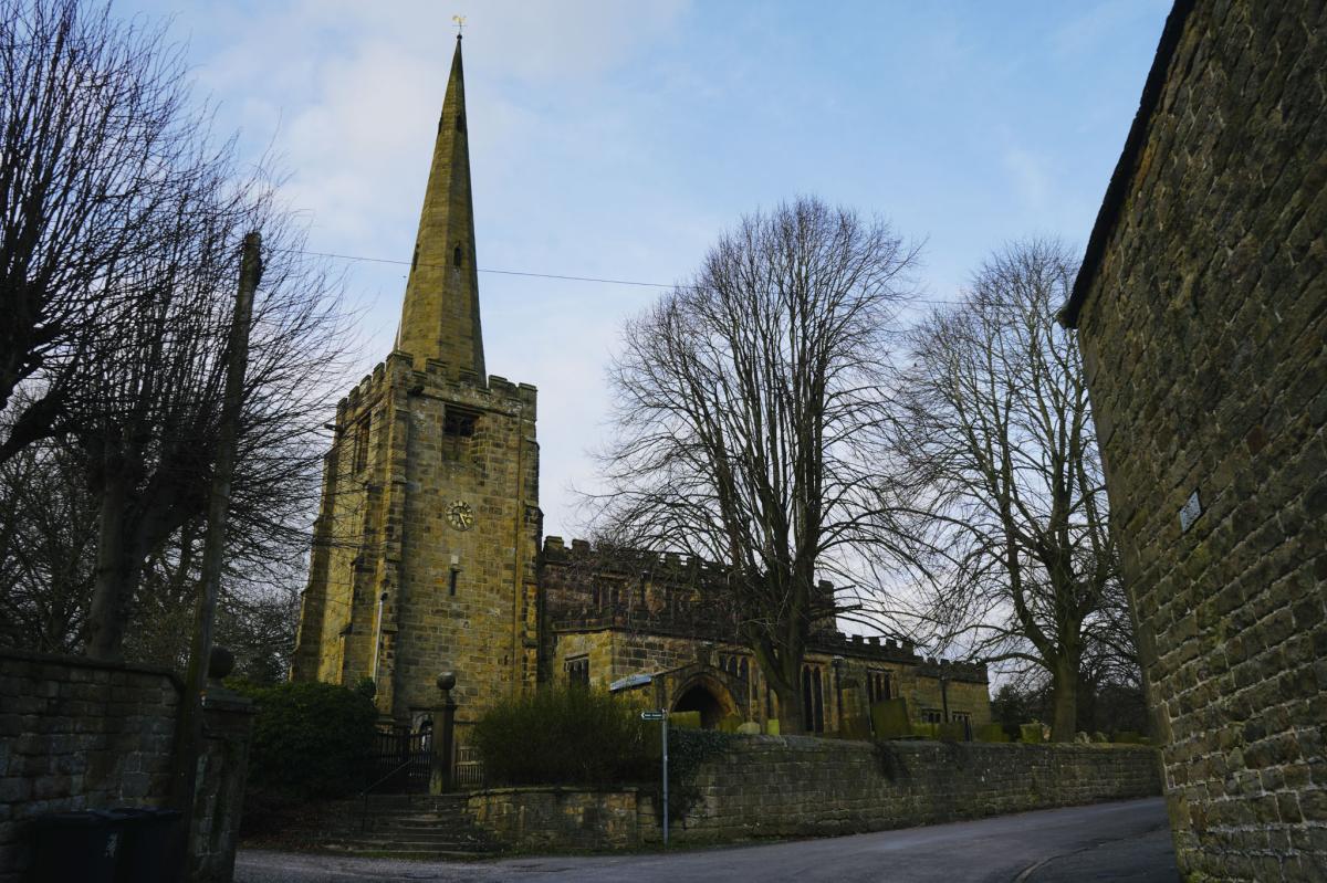
All Saints Church
The church was built between 1315 and 1419, and Thomas Babbington who built it was the great grandfather of Anthony Babbington who was executed at Smithfield whilst plotting, on behalf of Mary Queen of Scotts, to murder Elizabeth 1.
Fun Fact: The first organ was installed in 1886 by Abbott of Leeds and it cost £250 which is the equivalent of about £30,000 in today’s money!
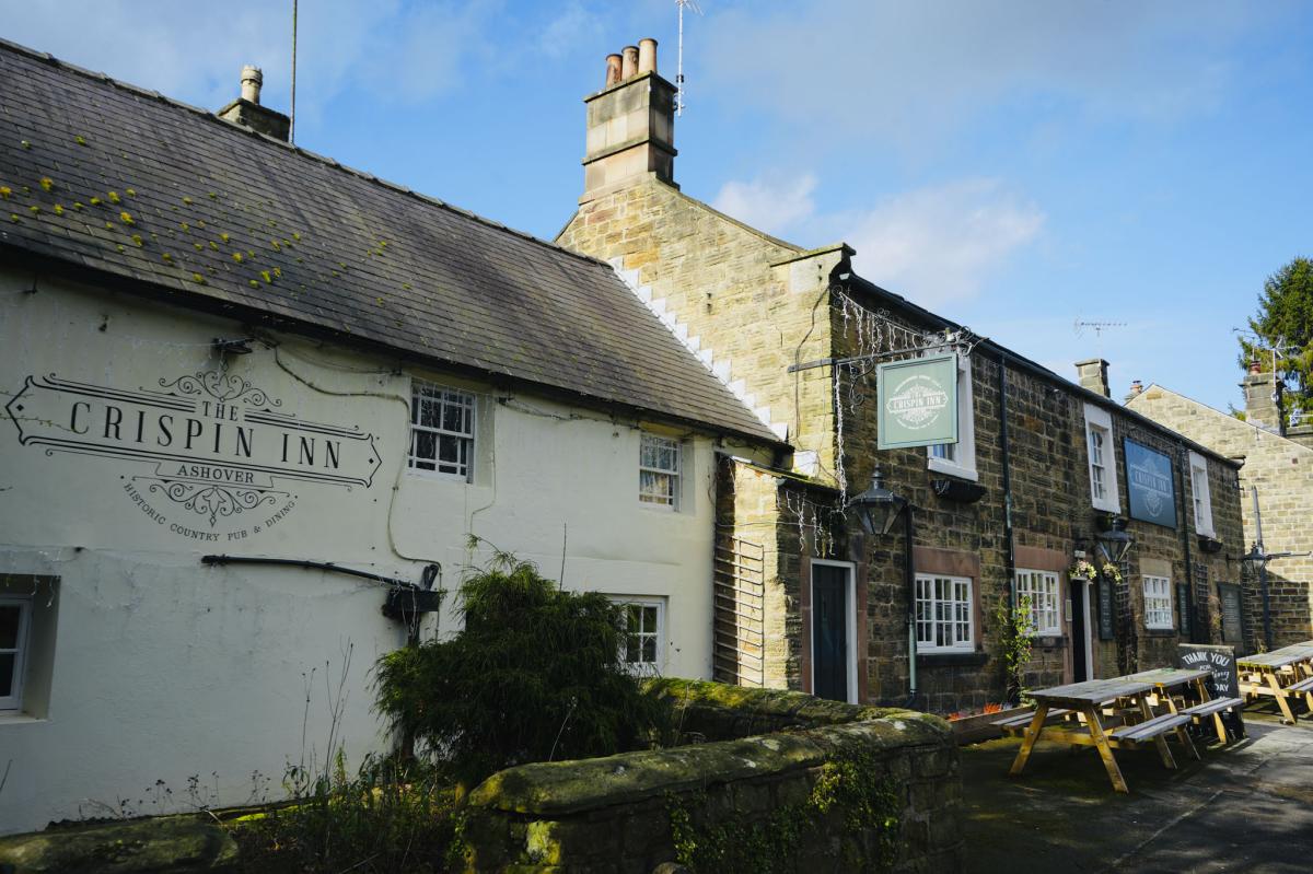
The Crispin Inn
After the church you’ll reach the Crispin Inn, so called as it is believed to be named after the Battle of Agincourt in France lead by Henry V. The men from Ashover helped the English to win the famous battle which was fought on St Crispin’s Day 25 October 1415. The pub has been here since medieval times and has been doing business since 1491.
Black Swan Pub
This circular walk is complete when you arrive back at the Black Swan pub. David, the landlord greeted us warmly and Stephen the chef cooked us yummy artisan pizzas – mine was Vegan – wonderful! The Focaccia bread was unbelievably tasty, and all served by our lovely waitress Alison.
The pub is 300 years old and apparently it has a ghost upstairs nicknamed ‘Laughing Cavalier’.
There is an unpleasant bit of history too – Bear baiting in which dogs and bears are chained up and forced to fight each other used to take place in a hollow above the pub but thankfully this was stopped in 1810.


Final Thoughts
This is an interesting and exhilarating 4.5 mile walk in North East Derbyshire that takes you all around Ashover to experience a variety of places and scenery. We had a great time exploring and getting to know the area and its landmarks. It was very quiet and peaceful, and we pretty much had the place to ourselves. I totally recommend it. I’ve completed the walk twice and have found that everyone we met was very friendly and helpful. AllTrails Route
FAQS
What is the difficulty level of this Ashover walk?
The Ashover walk is considered moderately challenging, with a few inclines to navigate. It's suitable for most walkers who are comfortable with slight elevation changes.
How do I get to the starting point of the Ashover walk?
You can reach the starting point by catching the Line 63 bus from Chesterfield or by driving. Free parking is available at the cricket club near the tennis courts on Milken Lane (postcode S45 0AB).
Are there any facilities like toilets along the walk?
Public toilets in the village are not prominent, but local pubs, like the Black Swan, may allow you to use their facilities. It's advisable to visit these establishments as a courtesy if you use their amenities.
Is the Ashover walk dog-friendly?
Yes, the walk is dog-friendly. However, it's important to keep your dog on a lead in certain areas, especially near livestock or on narrow paths, to ensure the safety and comfort of all.
What should I wear for the Ashover walk?
It's recommended to wear sturdy walking shoes or hiking boots, as the terrain can be uneven and muddy, especially after rain. Dress appropriately for the weather, and consider bringing a waterproof jacket in case of unexpected showers.